• About us
  • Product & Services

Our Services

Categories
Services Categories en
Road Survey and Pavement Inspection with XenomatiX. Experience next-generation road assessment with True Solid-State LiDAR – designed for ultra-precise road surface measurement at millimeter-level accuracy. Ideal for both public and private infrastructure projects.
Ground Penetrating Radar (GPR) – Model Crossover 4080 Accurate, non-destructive subsurface exploration technology
is a system designed to manage infrastructure assets and enhance the capability of local administrative organizations (LAOs) toward Smart Government through the use of information technology and survey technologies. It supports efficient digital management of infrastructure assets, empowering local administrative organizations to move toward becoming Smart Cities.
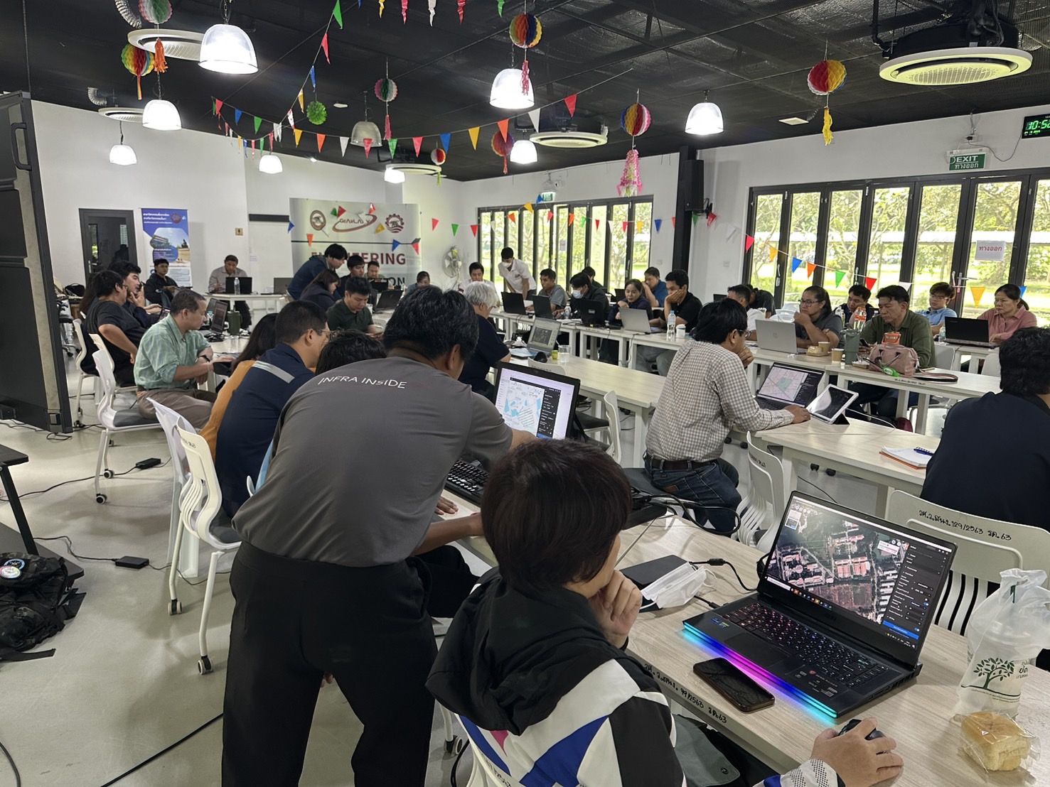
serves as a database system for motorway routes under the bureau’s responsibility. It compiles general route information, asset data, and operational condition data of the motorway network, such as the International Roughness Index (IRI), the International Friction Index (IFI), and lane marking reflectivity (measured by a Retroreflectometer), as well as route and pavement imagery.
is designed to collect and store completed and ongoing survey and design documents. The system serves as a centralized database for design projects, enabling stakeholders to search for information to support planning, monitoring, evaluation, and design-related tasks, thereby enhancing both capability and efficiency.
The Ice Thermal Storage (ITS) system, integrated with solar energy utilization, has been implemented for energy management in cooling operations at the near-zero carbon building “The Blocks” located within the Mae Moh Power Plant (egat-its.altotechglobal.com)
Namtang is a public transportation navigation system for Bangkok and its metropolitan area. It compiles details of public transport by road, rail, and water within Bangkok and the surrounding provinces
The CU Big Tree System was developed to manage large trees within the pilot urban area of Chulalongkorn University. Its purpose is to collect physical data of trees, such as height, girth, and crown size, alongside the use of modern survey technologies.
This system assesses and monitors the quality of marine and coastal ecosystems, along with providing deep analysis and modeling tools.
This system is for managing real estate in the commercial areas of Chulalongkorn University.
This system is a central database that collects data from surveys of damage conditions.
The Phon Phai application and its website are tools for managing the work of agencies involved in disaster relief.