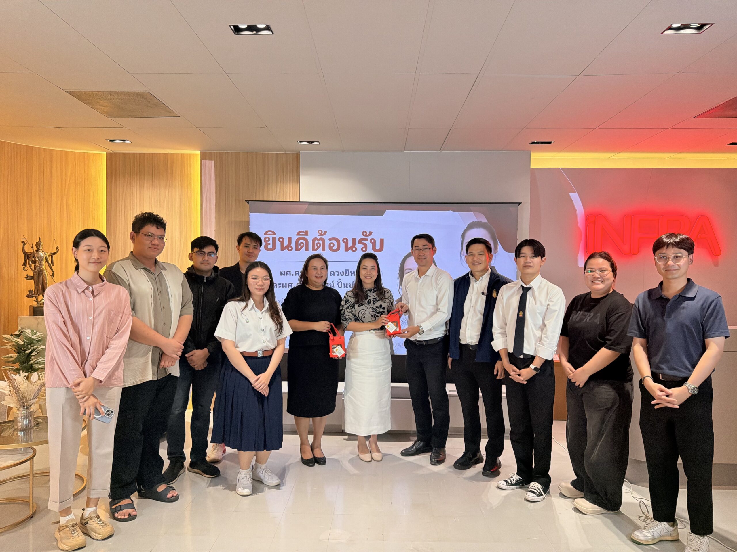
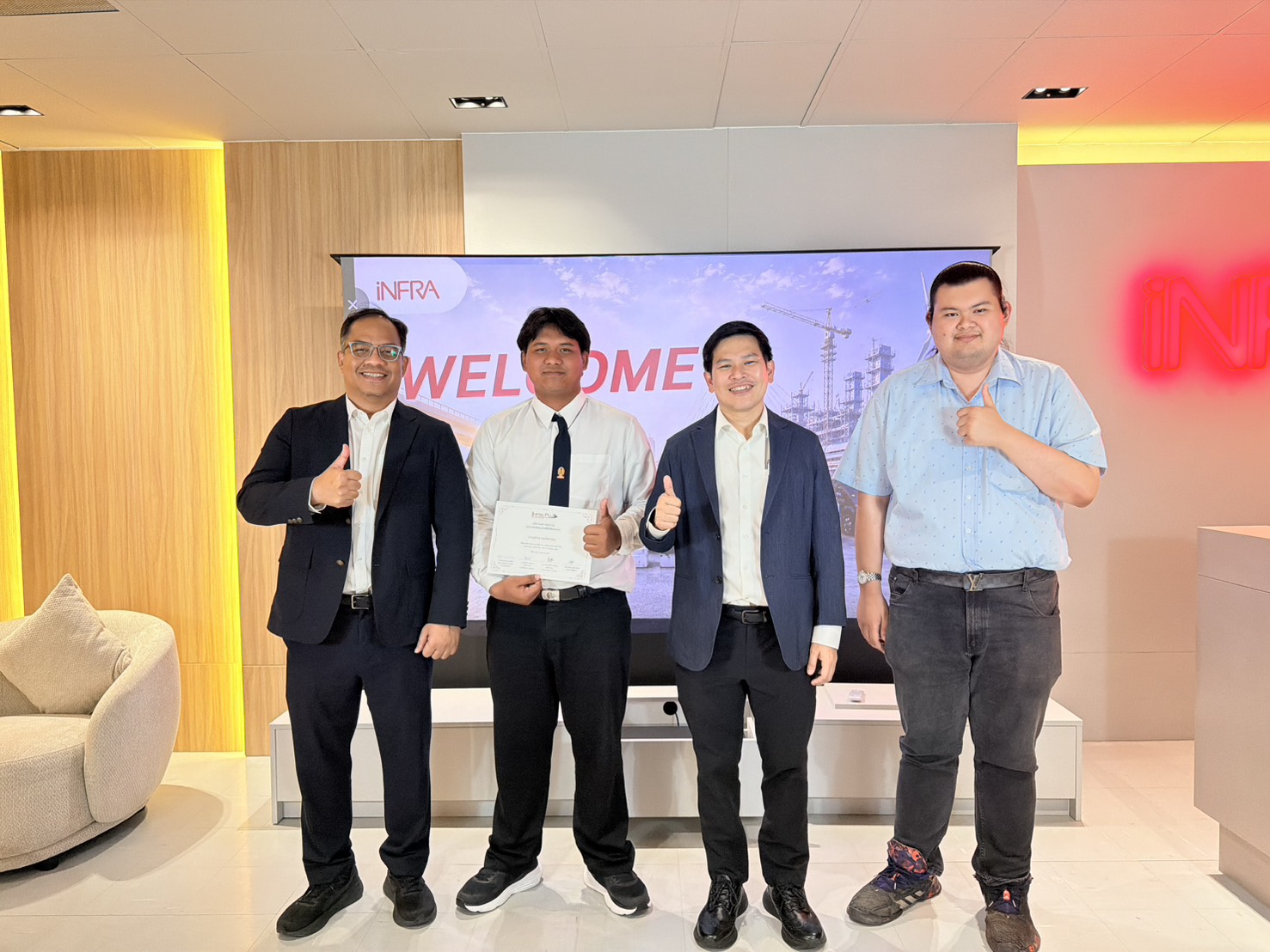
News & Activities
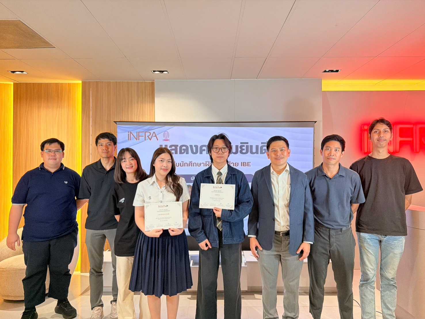
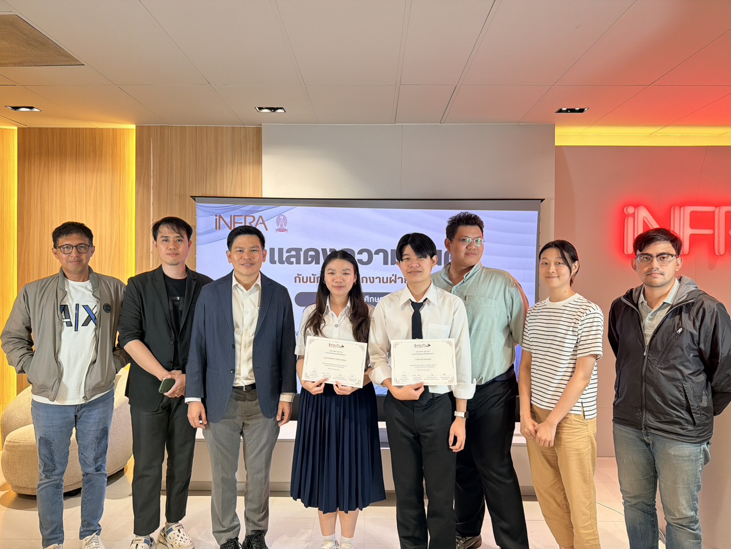
Infra Plus Co., Ltd. (iNFRA) is committed to developing future engineering professionals through hands-on learning and real-world experience. As part of this commitment, students from the Department of Civil Engineering, Faculty of Engineering, Chulalongkorn University, joined the Integrated Business Engineering (IBE) Division for their internship. During the program, they gained practical experience in applying engineering technologies and data-driven solutions to real projects, including GIS, Point Cloud, Project Management, Python, and Data Analysis to support engineering and infrastructure projects. The internship concluded with a Final Presentation and certificate presentation ceremony, reflecting the students' professional growth, technical competency, and readiness to pursue careers in civil engineering and digital technologies.
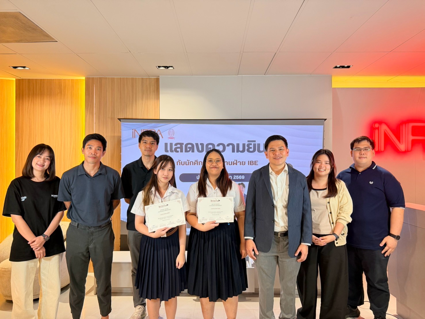
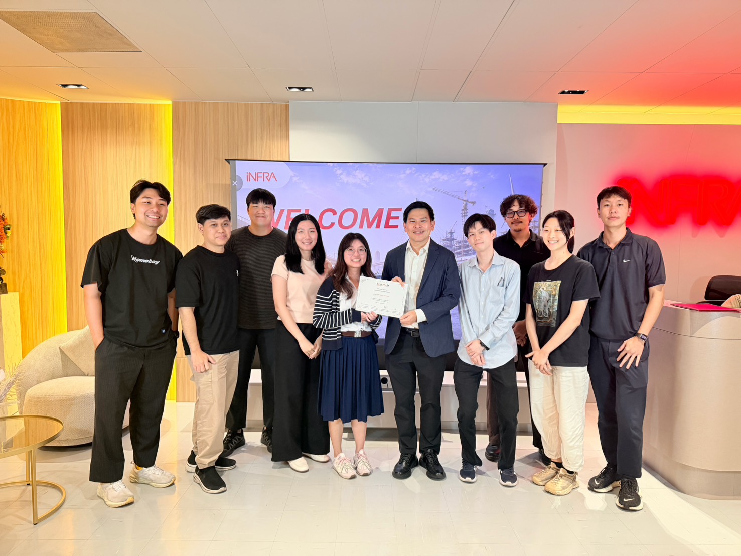
Infra Plus Co., Ltd. (iNFRA) is committed to developing future engineering talent through hands-on learning and real-world experience. As part of this commitment, students from the Computer Engineering and Digital Technology Program, Faculty of Engineering, Chulalongkorn University, joined the Integrated Business Engineering (IBE) Division for their internship. During the program, they gained practical experience in software development, requirement analysis, system design, and cross-functional collaboration with experienced professionals. The internship concluded with a Final Presentation and certificate presentation ceremony, highlighting the students' professional growth, technical competency, and readiness to pursue careers in digital technology and software engineering.
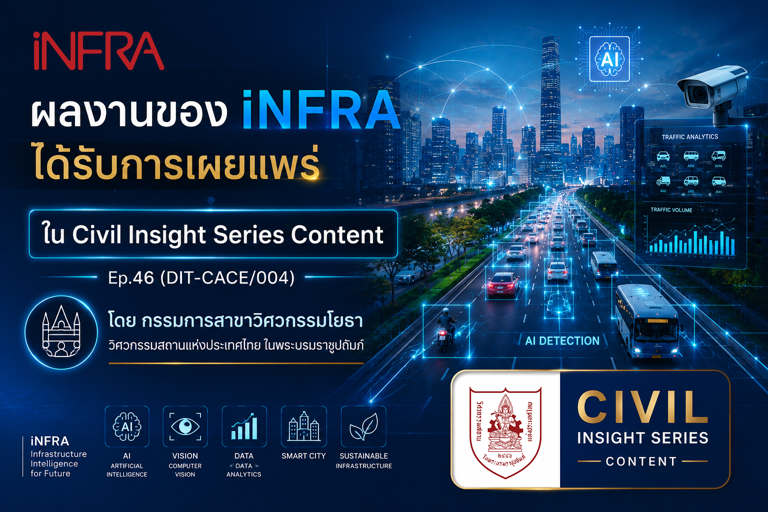
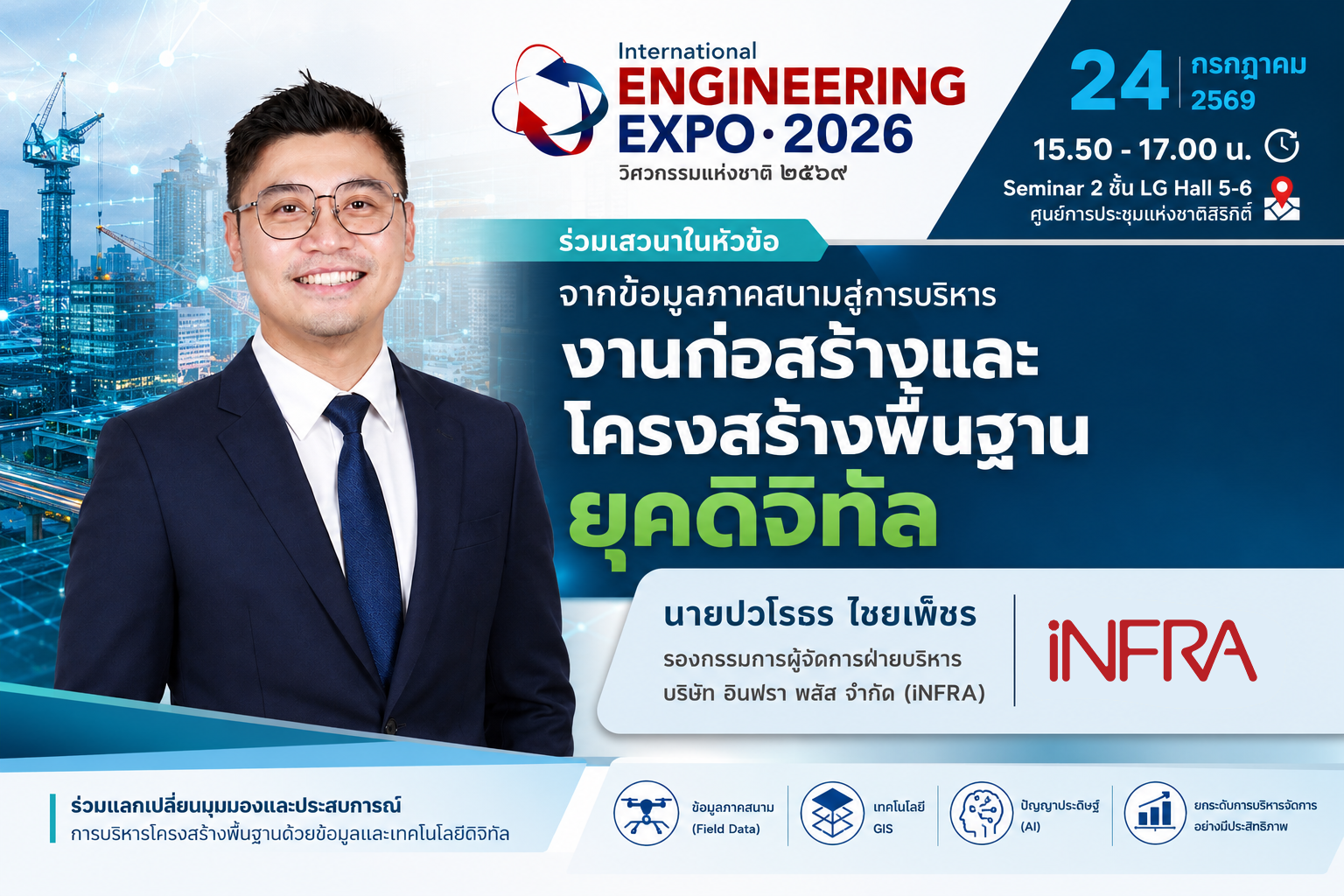
Infra Plus Co., Ltd. (iNFRA) is committed to fostering experiential learning by providing internship opportunities for students to work alongside experts in Geographic Information Systems (GIS) and digital technologies. Through hands-on experience, interns develop practical skills, enhance their professional competencies, and prepare themselves for successful careers in the future.