• About us
  • Product & Services

ล่าสุด

หมวดหมู่บทความ
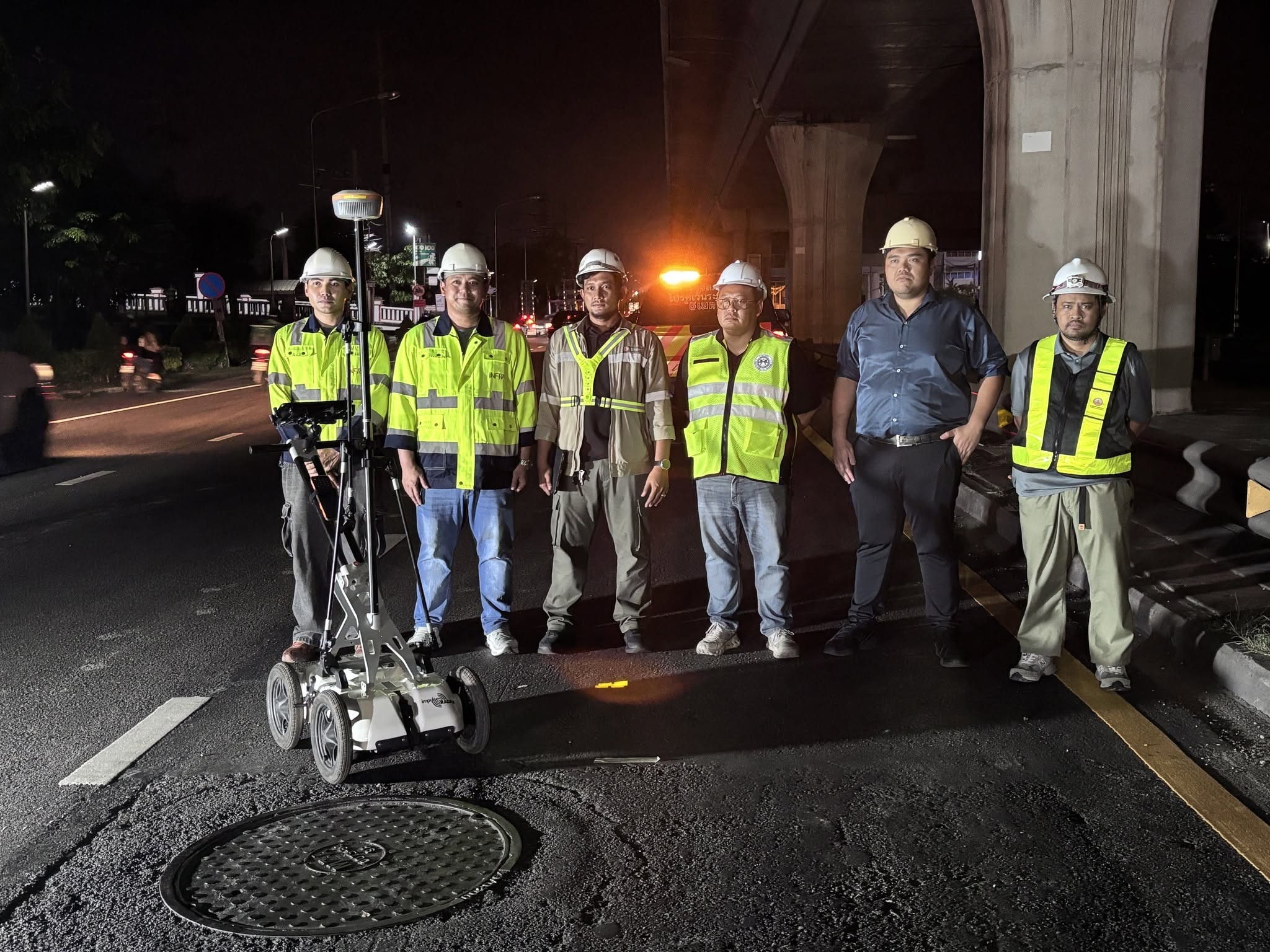
iNFRA provides underground infrastructure survey services using Ground Penetrating Radar (GPR) technology and specialized survey equipment to the Metropolitan Electricity Authority (MEA). The service supports inspections for potential cavities beneath roads and sidewalks around underground electrical cable manholes, covering 300 manholes to help identify subsurface anomalies and improve infrastructure safety.
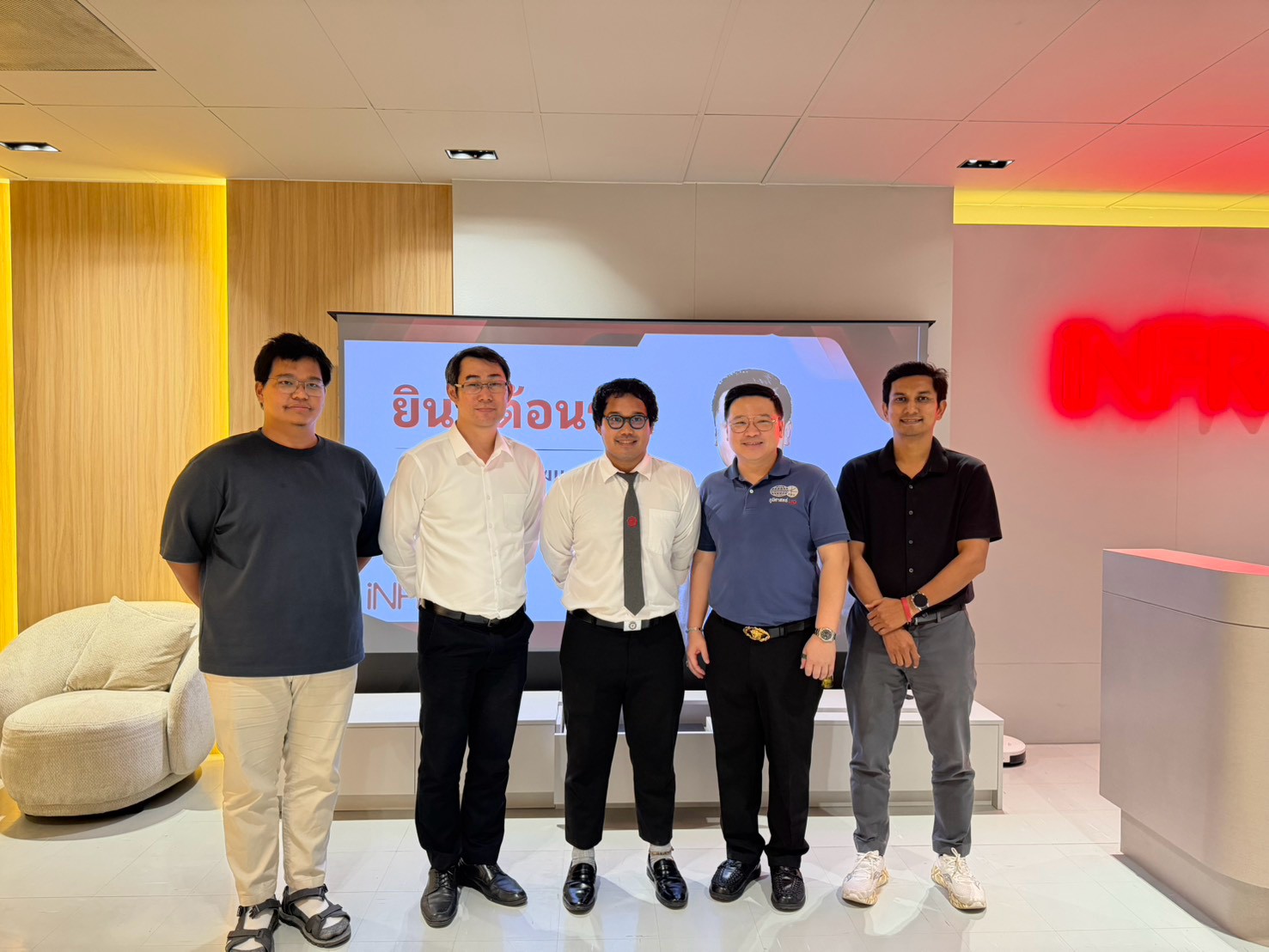
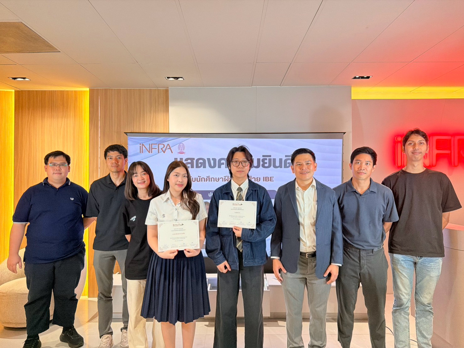
Infra Plus Co., Ltd. (iNFRA) welcomed a lecturer from Srinakharinwirot University for an internship supervision visit involving a student from the Department of Geography and Geoinformatics, Faculty of Social Sciences. The visit provided an opportunity to exchange perspectives on professional development and practical learning in infrastructure surveying and technology.
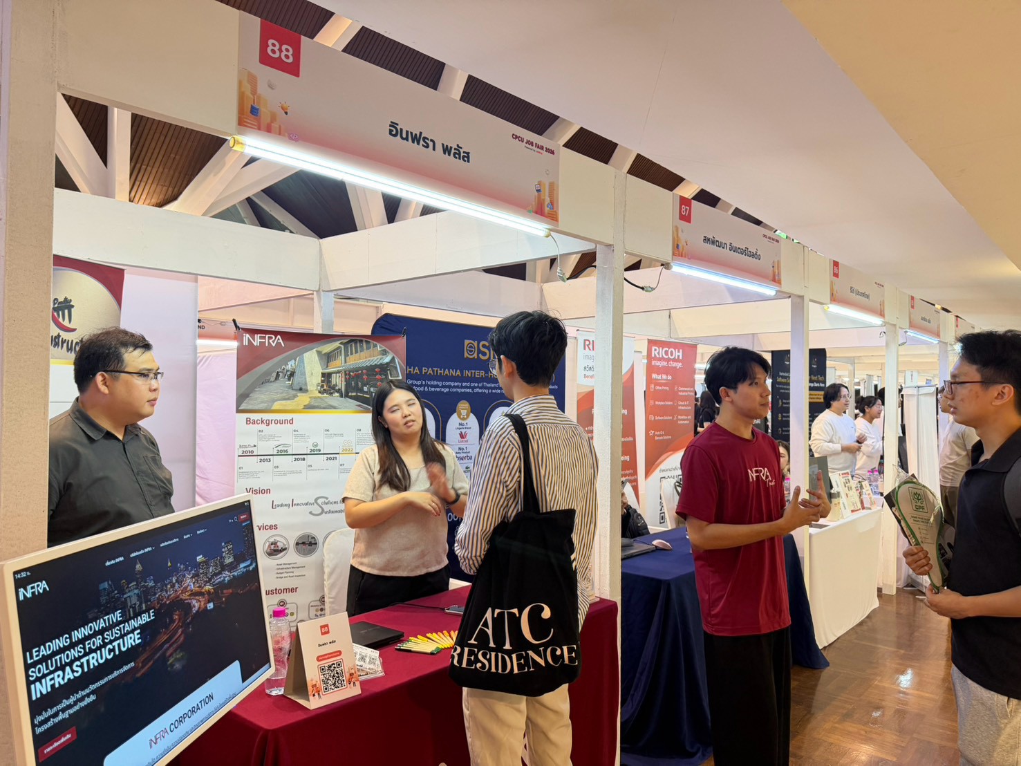
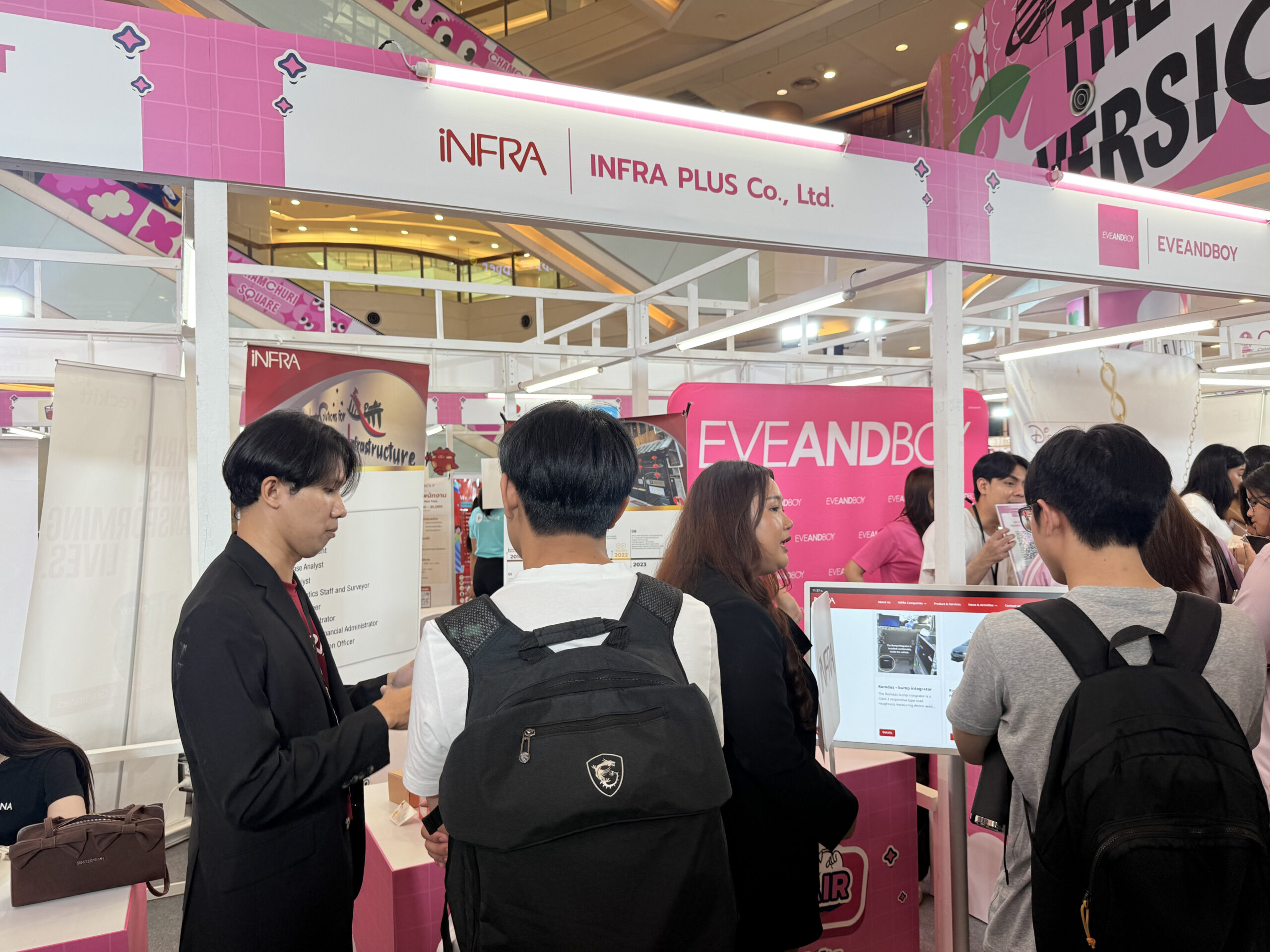
iNFRA hosted Booth 88 at CPCU Job Fair 2026, held at Sala Phra Kiao, Chulalongkorn University, on 22 October 2026. We met students and job seekers and welcomed new graduates interested in joining our team, as well as students interested in an internship.
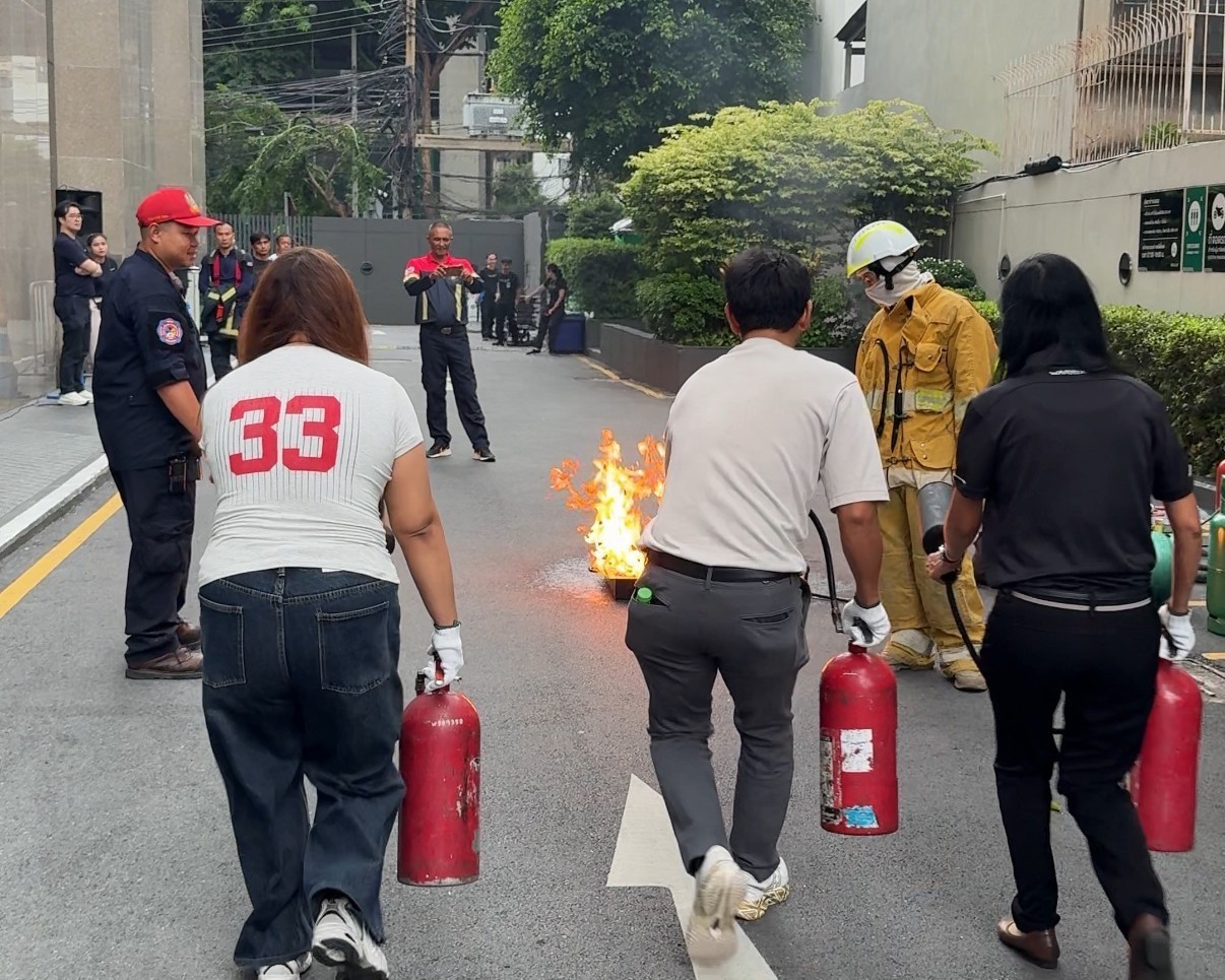
iNFRA participated in the annual fire drill on October 16, 2026, to enhance fire emergency preparedness and promote workplace safety.
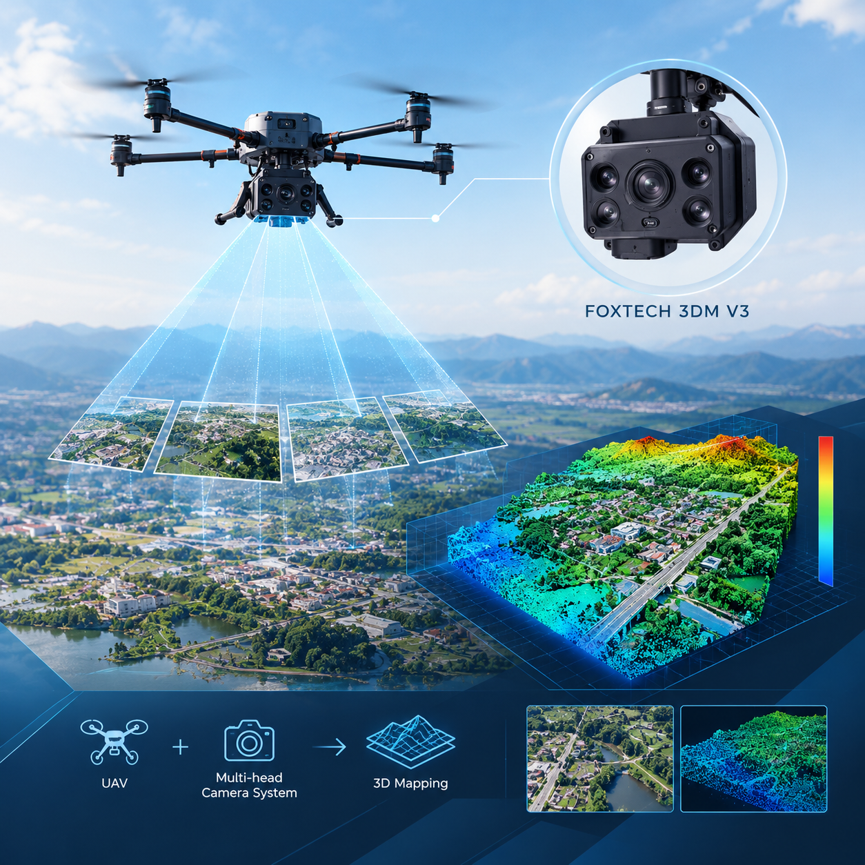
This study investigates the mathematical modeling of a multi-head camera system mounted on an unmanned aerial vehicle (UAV) for 3D mapping. Using the FOXTECH 3DM V3 camera system, the research examines camera parameter constraints and evaluates model accuracy through reprojection error and field validation.
This study investigates the skid resistance of recycled asphalt concrete incorporating reclaimed asphalt pavement (RAP) to evaluate pavement surface safety. Three asphalt mixture types were compared using the British Pendulum Tester and Dynamic Friction Tester under simulated long-term pavement surface deterioration.
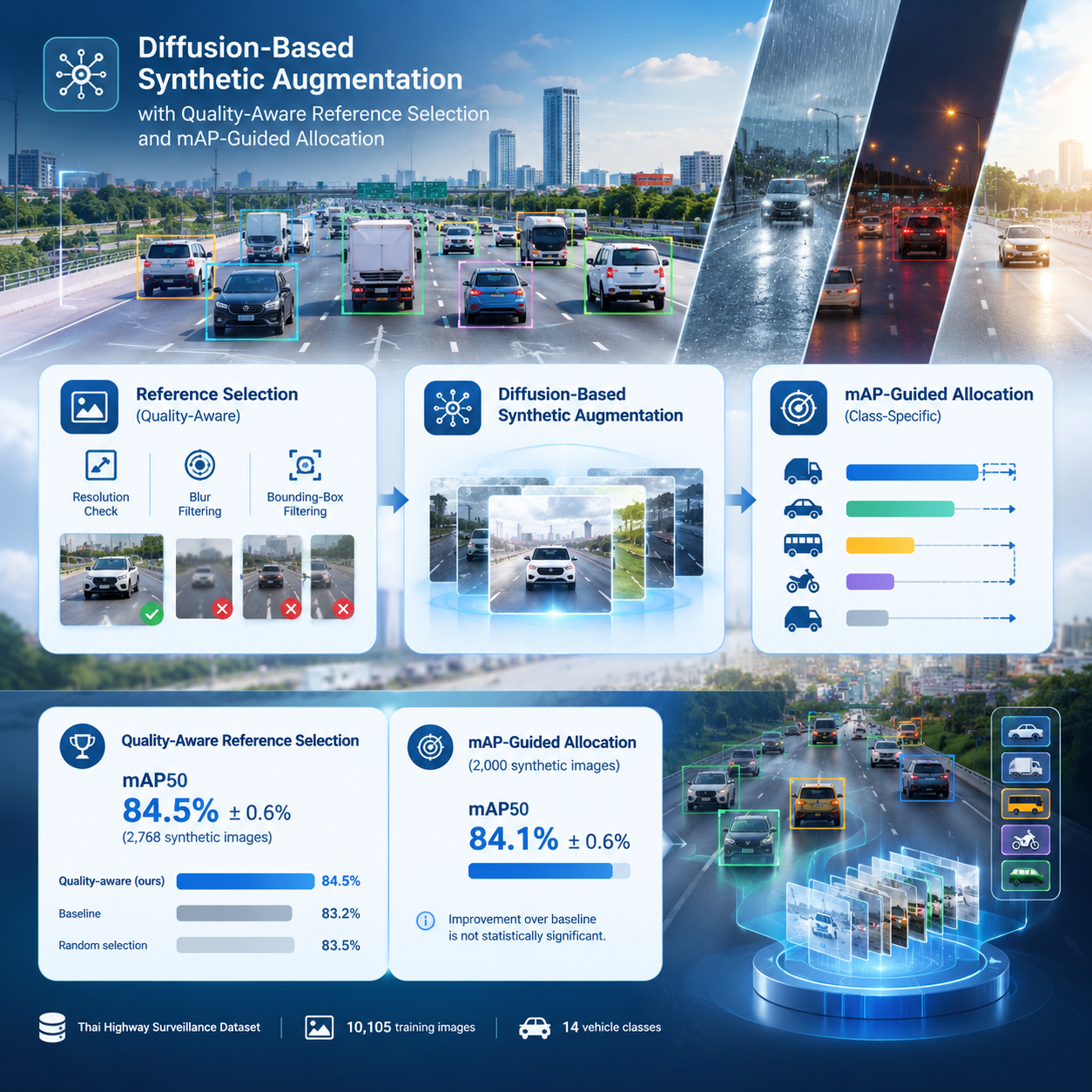
This study investigates diffusion-based synthetic data augmentation to improve vehicle detection under adverse weather and lighting conditions. It examines reference image quality and mAP-guided data allocation to address class imbalance and improve detection robustness.
iNFRA provides Transverse Profile Logger (TPL) survey services and equipment for measuring pavement transverse profiles and analyzing rut depth. These solutions support pavement condition assessment, post-construction inspection, and road maintenance planning.
This study investigates the use of recycled plastic waste as an additive in hot mix asphalt concrete for road construction. The research team developed mixture proportions and conducted comprehensive laboratory and field performance evaluations in accordance with the standards of the Department of Highways, Thailand.
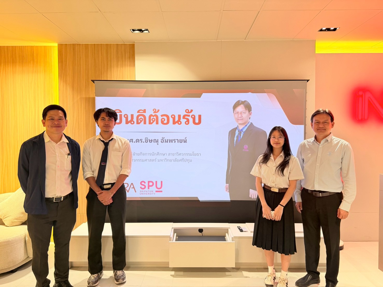
Infra Plus Co., Ltd. welcomed Assistant Professor Dr. Chisanu Amprayn, a lecturer in Civil Engineering, School of Engineering, Sripatum University, for a cooperative education visit to monitor students’ work progress and provide guidance during the second semester of the 2026 academic year.
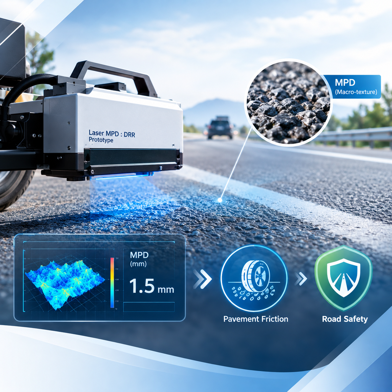
This research studies and develops a prototype device for measuring Mean Profile Depth (MPD), representing pavement macro-texture, as supporting data for pavement friction evaluation and road safety management.
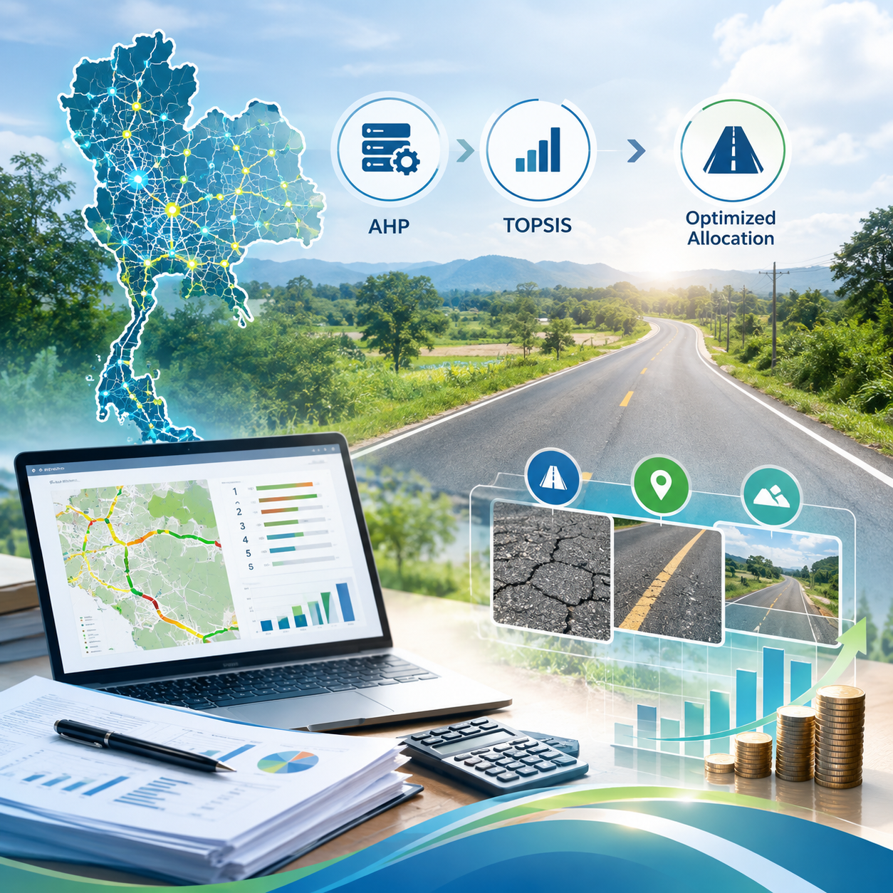
This study develops and evaluates an AHP-TOPSIS framework for prioritizing low-volume road maintenance under budget constraints. The approach integrates multiple criteria, including pavement performance, accessibility, and regional distribution, to support more balanced budget allocation.
iNFRA offers XenomatiX True Solid-State LiDAR road survey systems together with XenomatiX road surface survey services, providing 3D road surface and georeferenced data for pavement condition analysis, maintenance planning, and road network management.
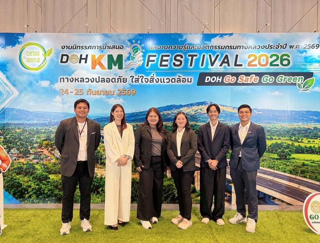
iNFRA Corporation received a certificate of appreciation from the Department of Highways (DOH) for participating in the exhibition under the Department of Highways Knowledge and Innovation Dissemination Project 2026, held under the concept “DOH GO SAFE GO GREEN.”
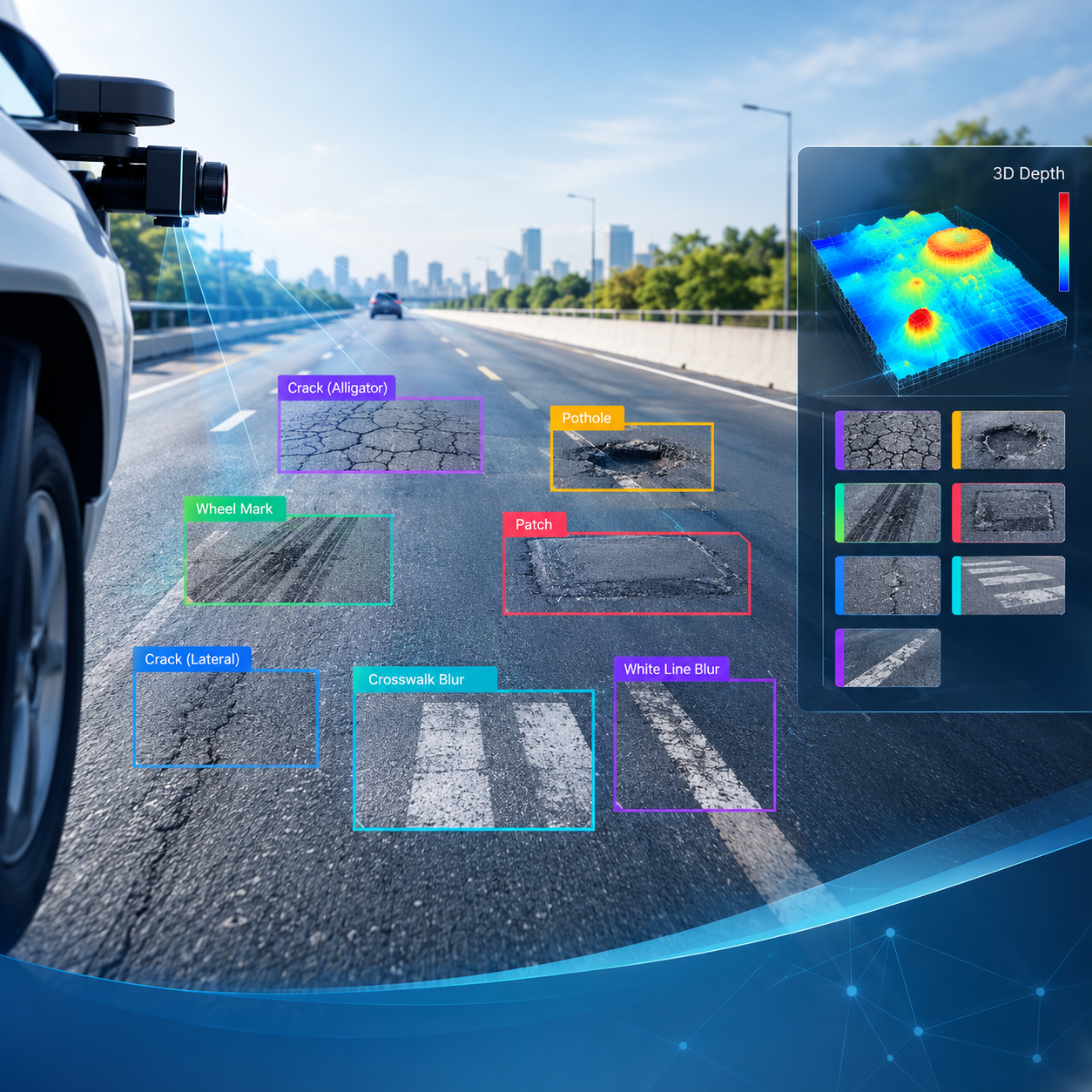
This research presents a computer vision-based approach for road pavement damage detection and assessment using a monocular camera mounted on a vehicle. The proposed system integrates the YOLO9tr object detection model with image-based depth estimation to detect damage types and estimate their dimensions in 3D.
This research examines the potential and strength of local administrative organizations in the local roadway field, focusing on their capacity to undertake local roadway-related operations.
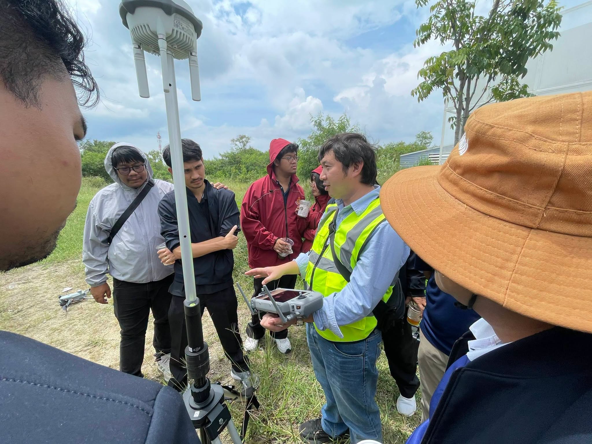
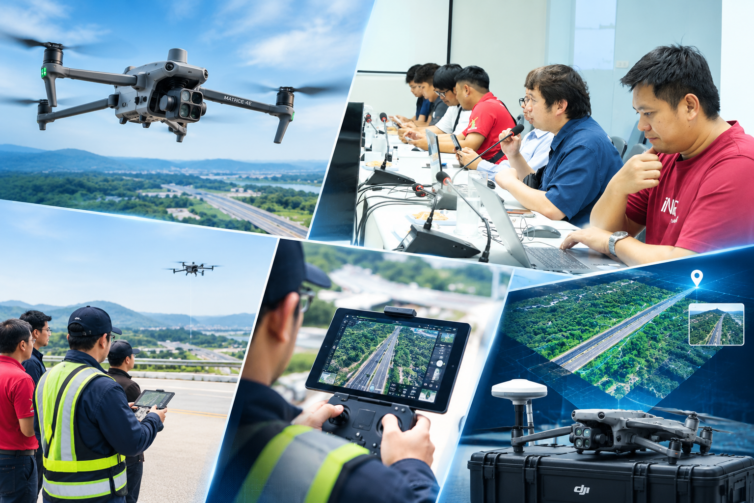
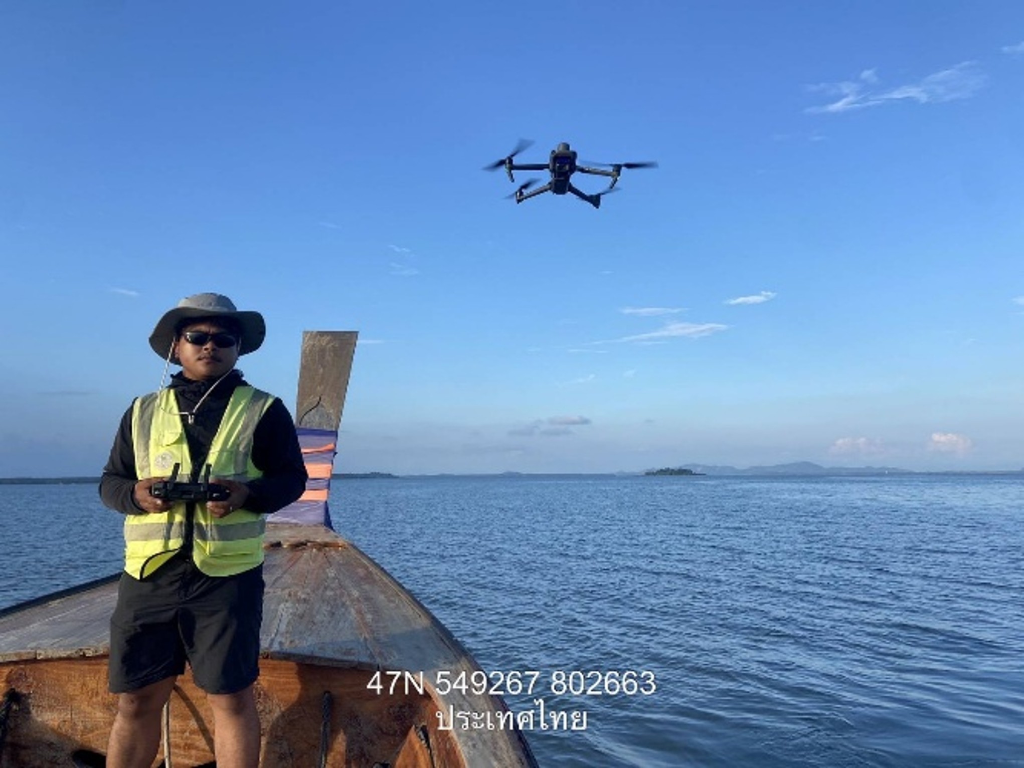
On 23 September 2026, B Innovation Co., Ltd. was honored to provide expert training on the DJI Matrice 4E RTK unmanned aerial vehicle (UAV) for officers of Chonburi Highway District 2, supporting the adoption of drone and RTK technology for highway surveying and infrastructure management.
B-Innovation provided knowledge transfer and practical demonstrations on the DJI Matrice 4E RTK unmanned aerial vehicle for personnel of Chon Buri Highway District 2. The training covered flight planning, RTK applications, surveying, mapping, and aerial photography to support data collection and highway management.