B-Innovation Shares DJI Matrice 4E RTK Knowledge for Highway Surveying
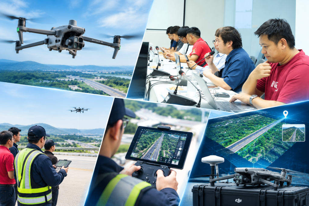
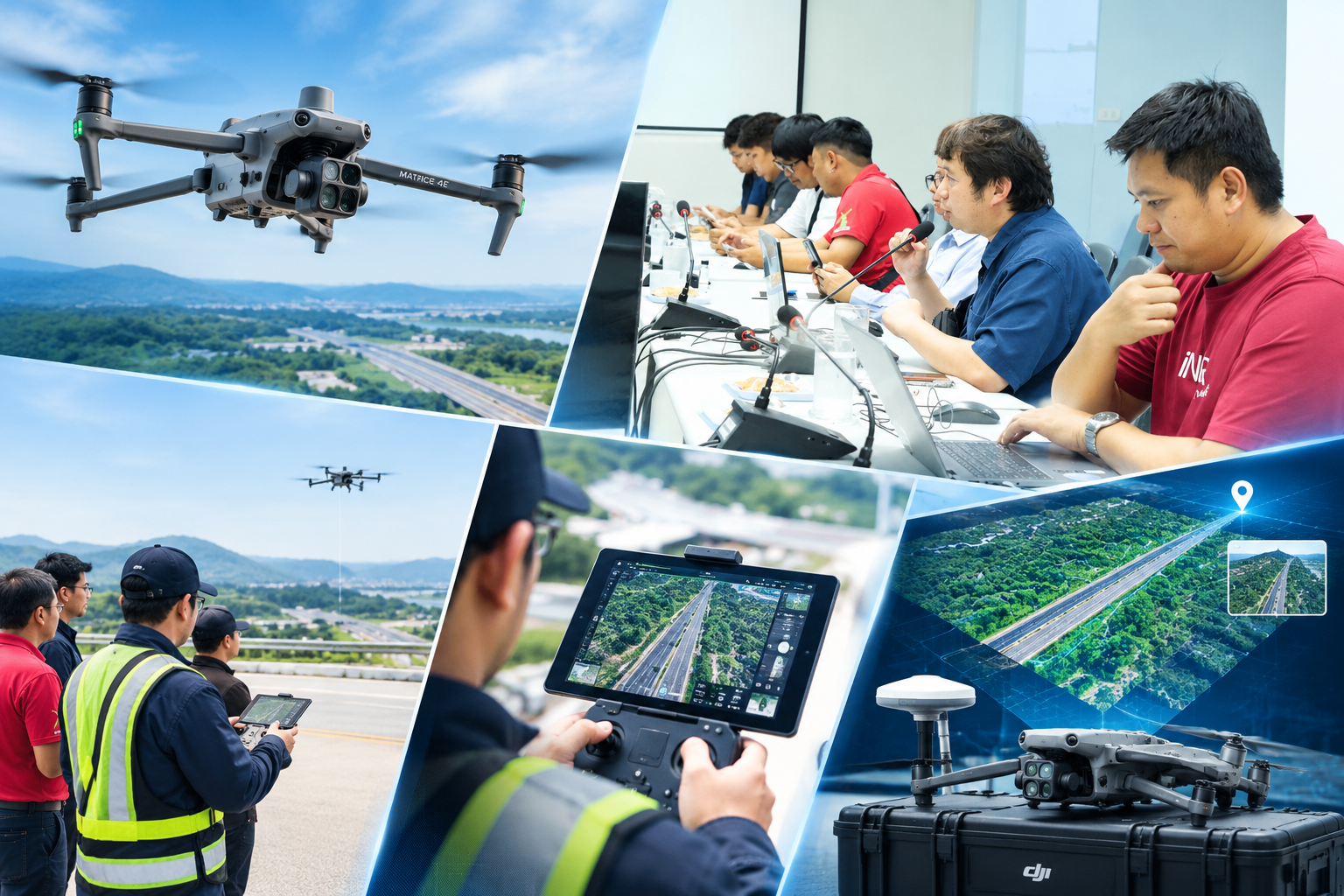
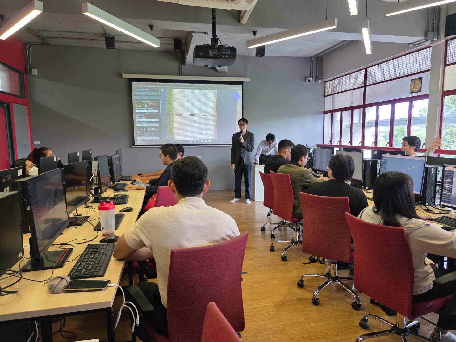
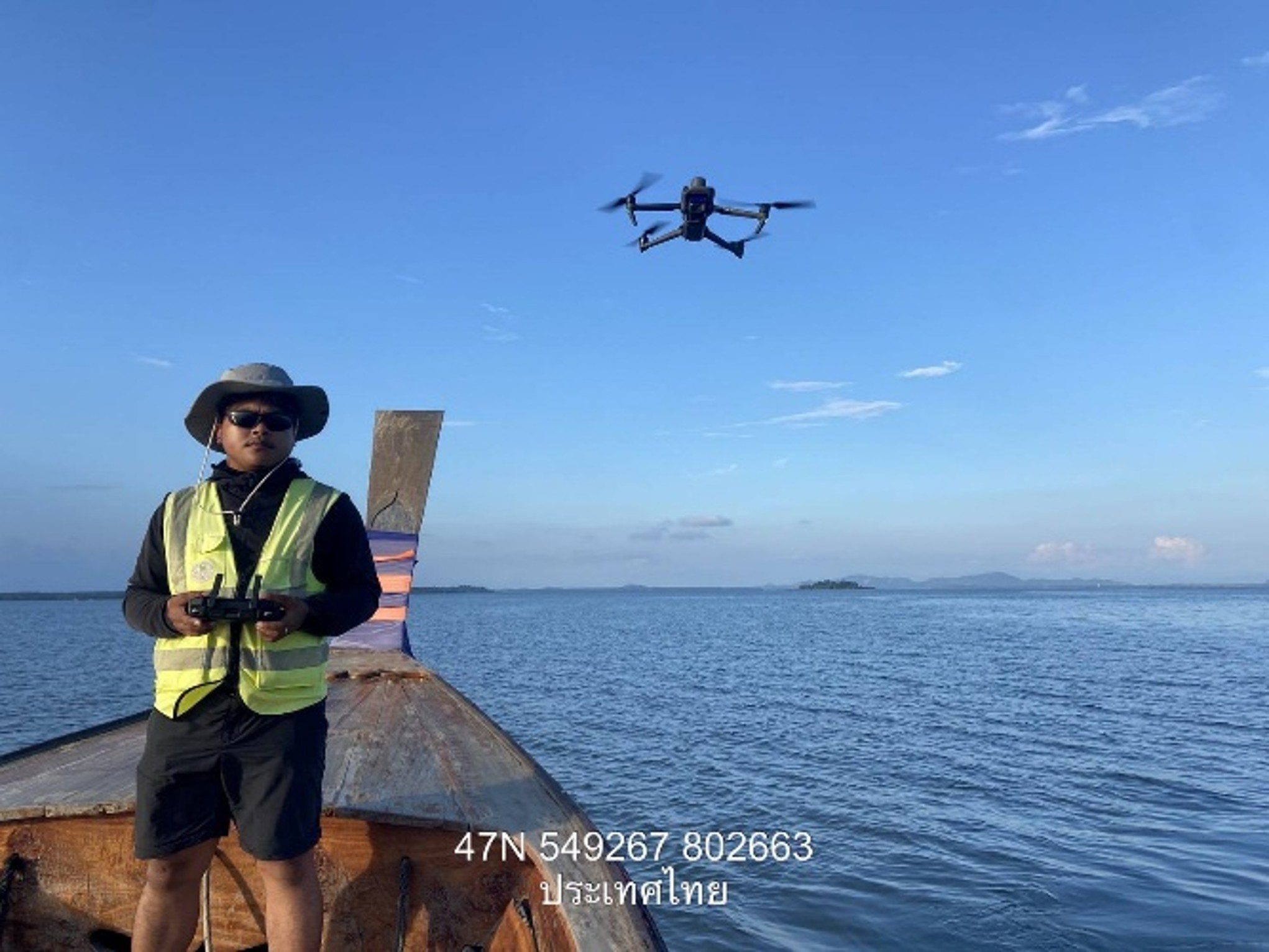
B-Innovation Co., Ltd. (B-Innovation) provided knowledge transfer and practical demonstrations on the DJI Matrice 4E RTK unmanned aerial vehicle for personnel of Chon Buri Highway District 2. The training aimed to strengthen knowledge and practical skills in using unmanned aerial vehicle technology for surveying, mapping, and aerial data collection.
The training was organized by Chon Buri Highway District 2. Mr. Chatpong Rattanopas, Director of Chon Buri Highway District 2, assigned planning officers, heads of highway maintenance units, and relevant personnel to participate in the training on the DJI Matrice 4E RTK system.
B-Innovation’s technical specialists delivered both theoretical knowledge and practical demonstrations covering key topics, including:
- DJI Matrice 4E features and functions for surveying and data collection
- Flight planning and UAV operation based on survey objectives and site conditions
- RTK (Real-Time Kinematic) applications for surveying and mapping
- Aerial photography and data collection for surveying and spatial analysis
- Operational limitations and safety principles for unmanned aerial vehicle operations
The training covered the workflow from mission preparation and flight planning to UAV operation and the practical application of survey data according to the requirements of highway-related work.
The use of RTK-enabled unmanned aerial vehicles can support the collection of spatial and aerial imagery data, which can be applied to surveying, mapping, planning, and infrastructure management.
The training therefore contributed to developing personnel’s practical skills in applying appropriate survey technologies to field operations and using collected data to support highway-related activities in a systematic manner.
B-Innovation focuses on applying technologies including UAV, RTK, surveying, and geospatial data to support data collection and management for infrastructure projects. Knowledge transfer and practical demonstrations are part of its approach to helping personnel apply surveying technologies appropriately in real-world operations.
“Advanced Technology. Accurate Data. More Efficient Highway Management.”