


INFRA SERVE
Infra Serve

Infra Serve
Infra Serve Co., Ltd. was established with the vision to lead in the provision of technical survey and analysis services. Utilizing cutting-edge technology and a team of highly skilled professionals, we are committed to adding value and safety to society’s infrastructure. We offer a wide range of services including traffic area surveys, surface roughness analysis, and infrastructure safety evaluations. Our aim is to assist our clients in efficiently managing and maintaining their infrastructure in a sustainable manner.
Mission
Infra Serve Co., Ltd. is committed to offering precise analytical and infrastructure survey services through the use of cutting-edge technology and innovation. We aim to add value and enhance the safety of infrastructure, ensuring that society can use it with confidence and sustainability. We promote continuous development within our team to deliver quality and professional services. Additionally, we provide reliable consultancy and recommendations, assisting our clients in efficiently managing their infrastructure.
About
Infra Serve Co., Ltd. is an organization that offers a wide range of services in surveying and technical analysis to meet the needs of both public and private sector agencies. The company excels in providing comprehensive services utilizing advanced technology to ensure accurate and highly efficient data. The main services of the company can be summarized as follows:
Road Condition Survey and Analysis
Road Condition Survey and Analysis: Utilizing survey vehicles equipped with lasers to inspect the smoothness and roughness of road surfaces, including both asphalt and concrete, according to ASTM E950 standards. This standard is internationally recognized and developed by the American Society for Testing and Materials (ASTM). This measurement aids in the effective assessment and maintenance of traffic areas.
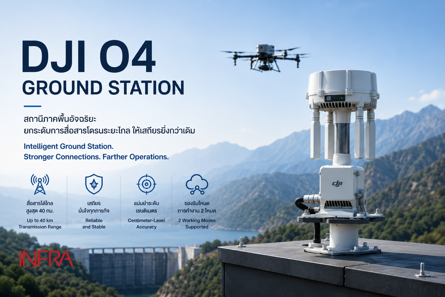
Unmanned Aerial Vehicle (UAV) Survey Services
Unmanned Aerial Vehicle (UAV) Survey Services: These services are capable of processing data obtained from surveys with high precision by using Ground Control Points (GCP) and techniques such as Real-time Kinematic (RTK) positioning or Post-Processed Kinematic (PPK) to enhance the accuracy of positional data.
Report Preparation
Report Preparation: Preparing reports according to the formats, standards, and academic principles specified by clients. This includes providing consultation and recommendations on data presentation, analysis, and summarization in an appropriate format, as well as adapting specific academic principles and standards as required by the client for presentation to relevant agencies or organizations.
Positional Data Collection Using Laser on Survey Vehicles
Positional Data Collection Using Laser on Survey Vehicles: Recording 3D coordinate data and surrounding images of road areas and streets. This aids in the assessment and management of safety, as well as extending the lifespan and efficiency of infrastructure.
Continuous Friction Measurement on Surfaces
Continuous Friction Measurement on Surfaces: Measuring skid resistance, which provides crucial data for evaluating the safety of road surfaces.