We are committed to fostering growth, sustainability, safety, and quality service for the nation’s infrastructure through the support, promotion, and development of our group of companies.
The objective of conducting business in the sale of innovative engineering products. This includes equipment for surveying and data collection for planning and managing infrastructure.
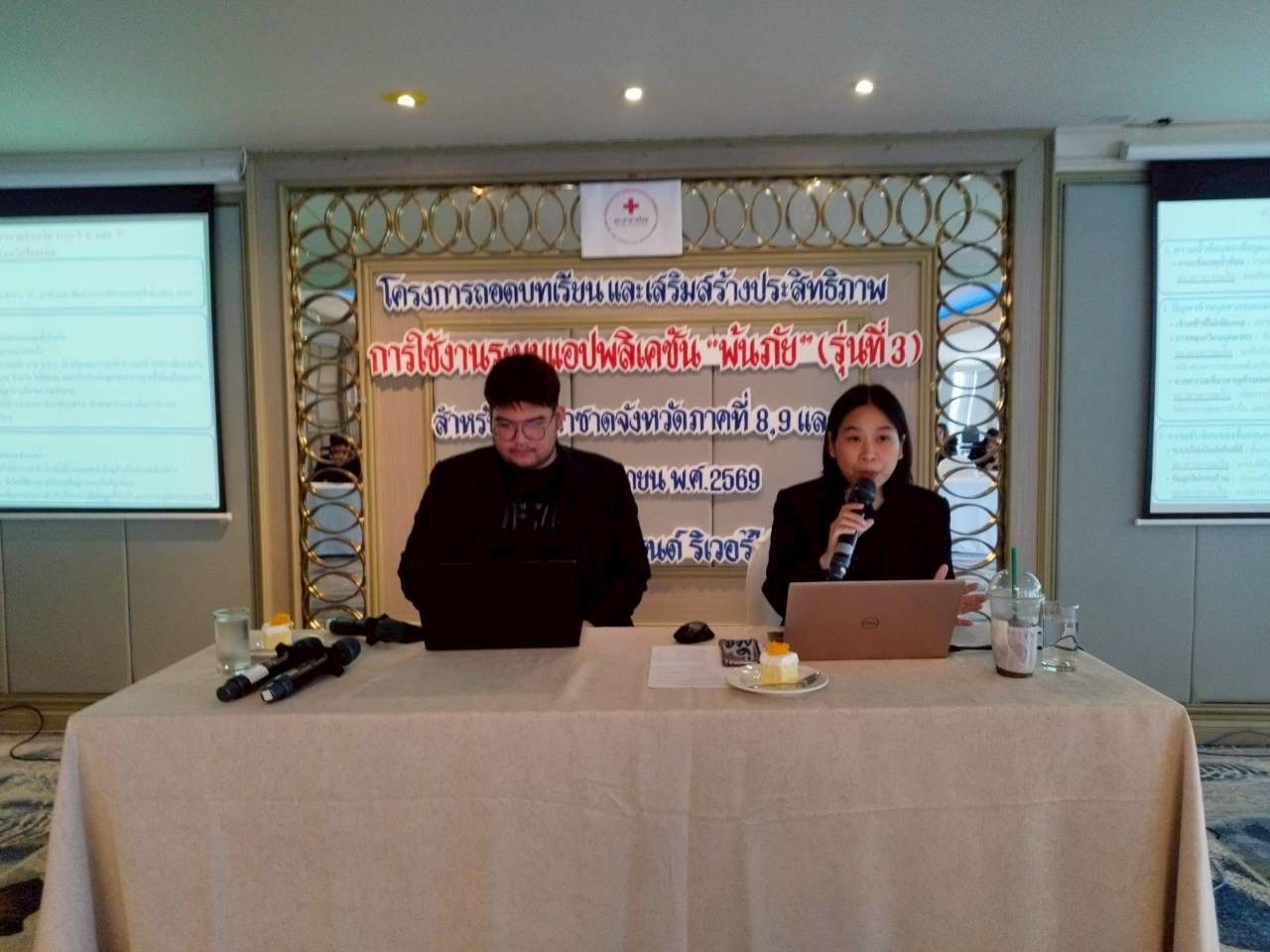
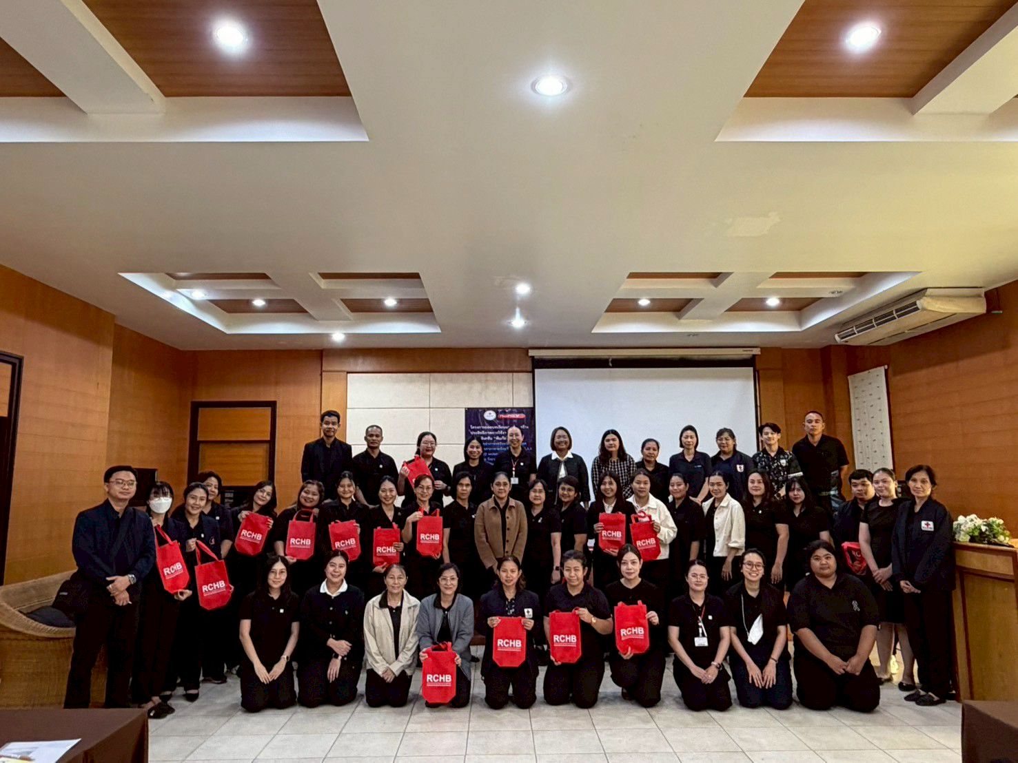
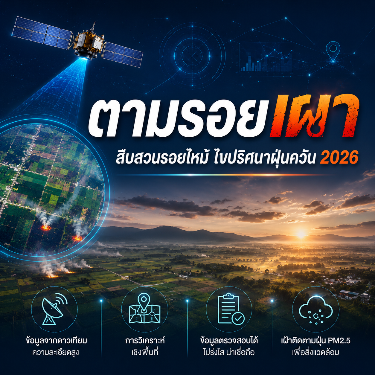
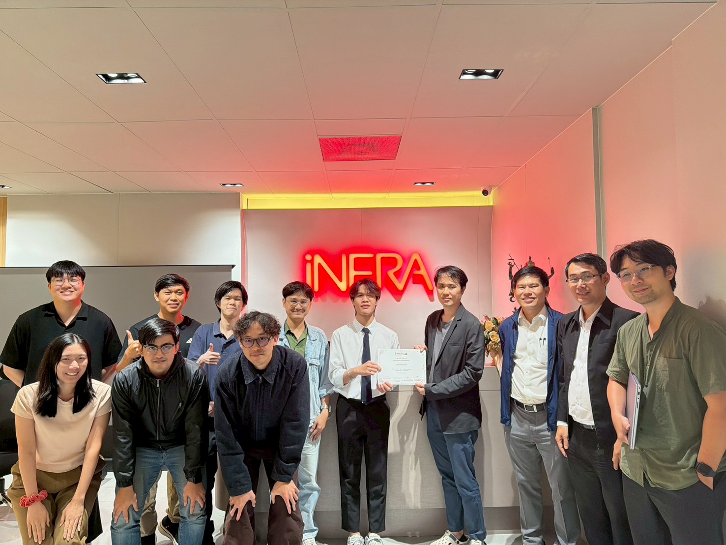
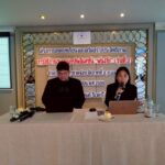
iNFRA Plus Co., Ltd. participated in sharing knowledge on geospatial technology and satellite data applications at the seminar “Tracing the Burn: Investigating Burn Scars and Unraveling the Haze Mystery 2026”, held on 22 May 2026 at Maruay Garden Hotel, Bangkok, and broadcast online. The event served as a platform for knowledge exchange and discussions on the application of spatial data in studying landscape changes and environmental impacts.
The seminar featured presentations on Earth Observation, Remote Sensing, and Geospatial Analytics technologies, highlighting their potential for monitoring land-use changes, analyzing satellite imagery, and supporting data-driven decision-making based on verifiable information.
The event reflected the growing role of digital technologies and geospatial data in resource management, environmental monitoring, and advancing scientific understanding of PM2.5 pollution through systematic spatial analysis.
iNFRA remains committed to developing and applying geospatial technologies, satellite data, and digital innovations to support spatial data management and contribute to the sustainable development of smart infrastructure.