We are committed to fostering growth, sustainability, safety, and quality service for the nation’s infrastructure through the support, promotion, and development of our group of companies.
The objective of conducting business in the sale of innovative engineering products. This includes equipment for surveying and data collection for planning and managing infrastructure.
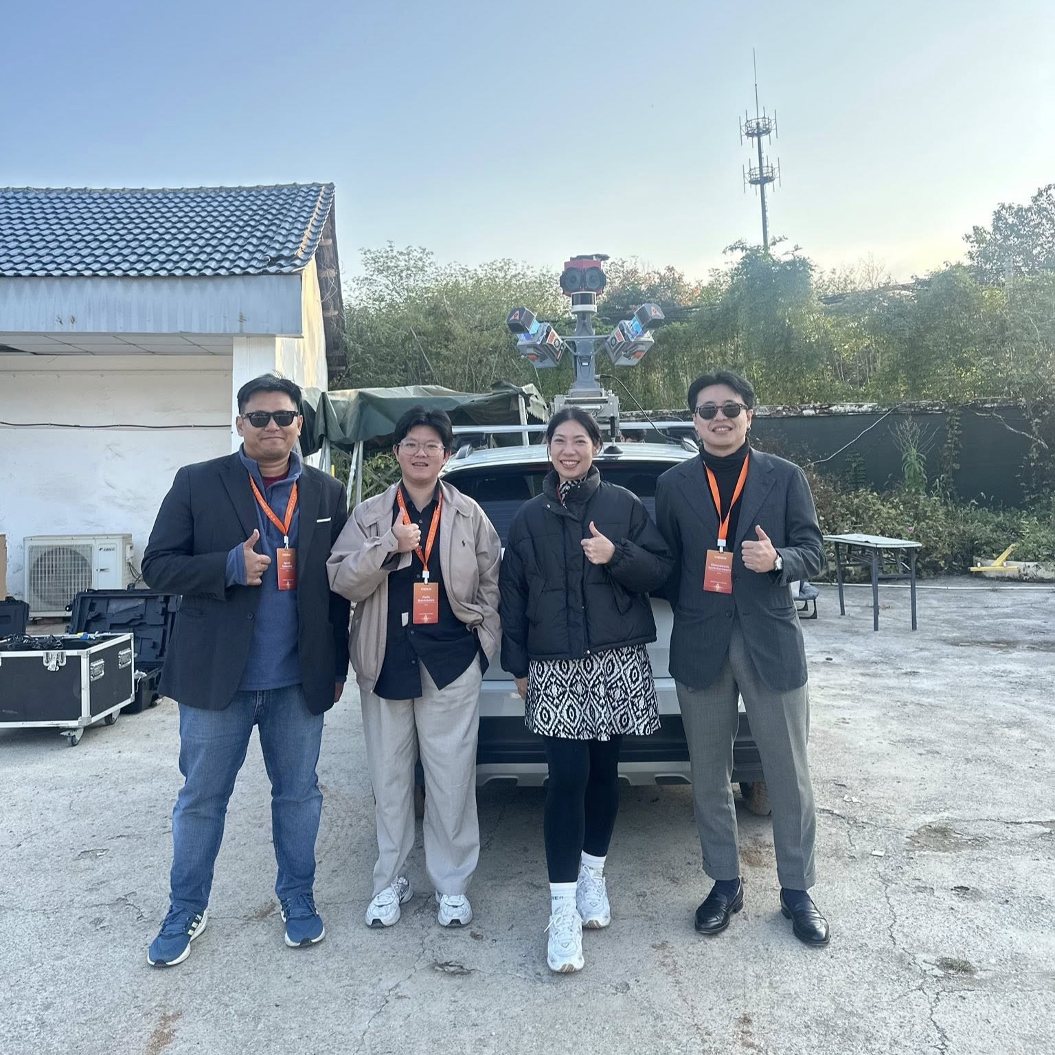
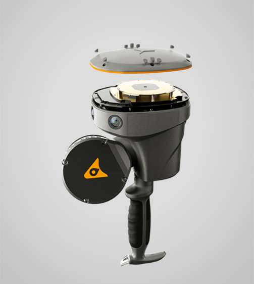
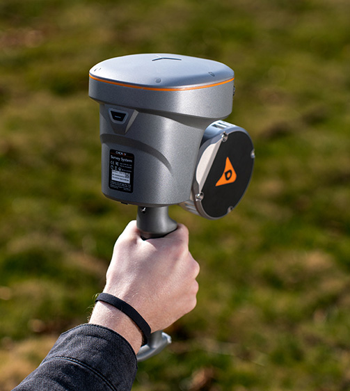
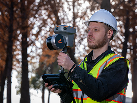
CHCNAV RS10 – Handheld SLAM 3D Laser Scanner + GNSS RTK
CHCNAV RS10 – Handheld SLAM 3D Laser Scanner + GNSS RTK
The RS10 is a handheld LiDAR scanner that integrates GNSS RTK, Laser Scanning, and Visual SLAM into a single platform, delivering both flexibility and accuracy for indoor and outdoor applications. Perfect for Surveying, BIM, Forestry, Utility Inspection, and Underground Mapping.
Key Features
GNSS RTK + SLAM – Achieve up to 5 cm absolute accuracy
Real-Time Mapping – Instantly generate georeferenced point clouds
High Precision – 1 cm relative accuracy
Hot-Swappable Battery – 60 minutes of continuous operation per battery
Performance & Benefits
Operates even in weak GNSS signal environments
High accuracy, ideal for BIM and complex structures
Real-time point cloud visualization for immediate adjustments
Faster surveys with a workflow that eliminates the need for loop closure
Versatile applications from BIM and Forestry to Underground Mapping
SmartGo and CoPre software for a complete end-to-end workflow
Lightweight, durable design with IP64 rating
Hot-swap battery for uninterrupted operation
Expand your surveying capabilities with the CHCNAV RS10. Contact iNFRA today for more information or to request a live demonstration.