We are committed to fostering growth, sustainability, safety, and quality service for the nation’s infrastructure through the support, promotion, and development of our group of companies.
The objective of conducting business in the sale of innovative engineering products. This includes equipment for surveying and data collection for planning and managing infrastructure.
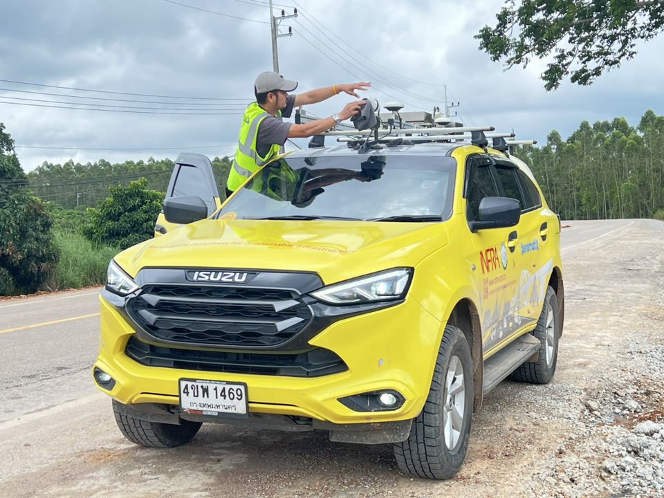
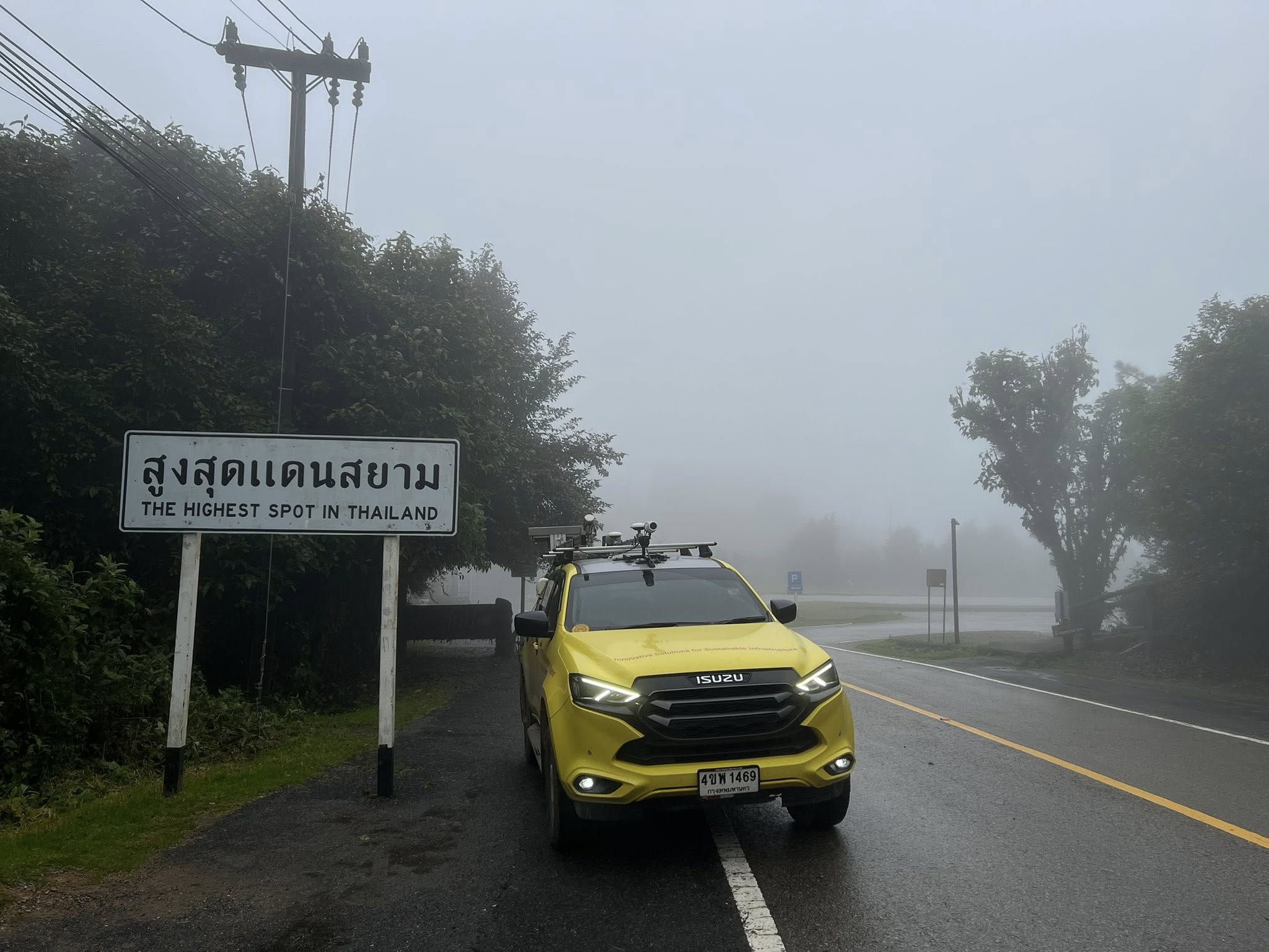
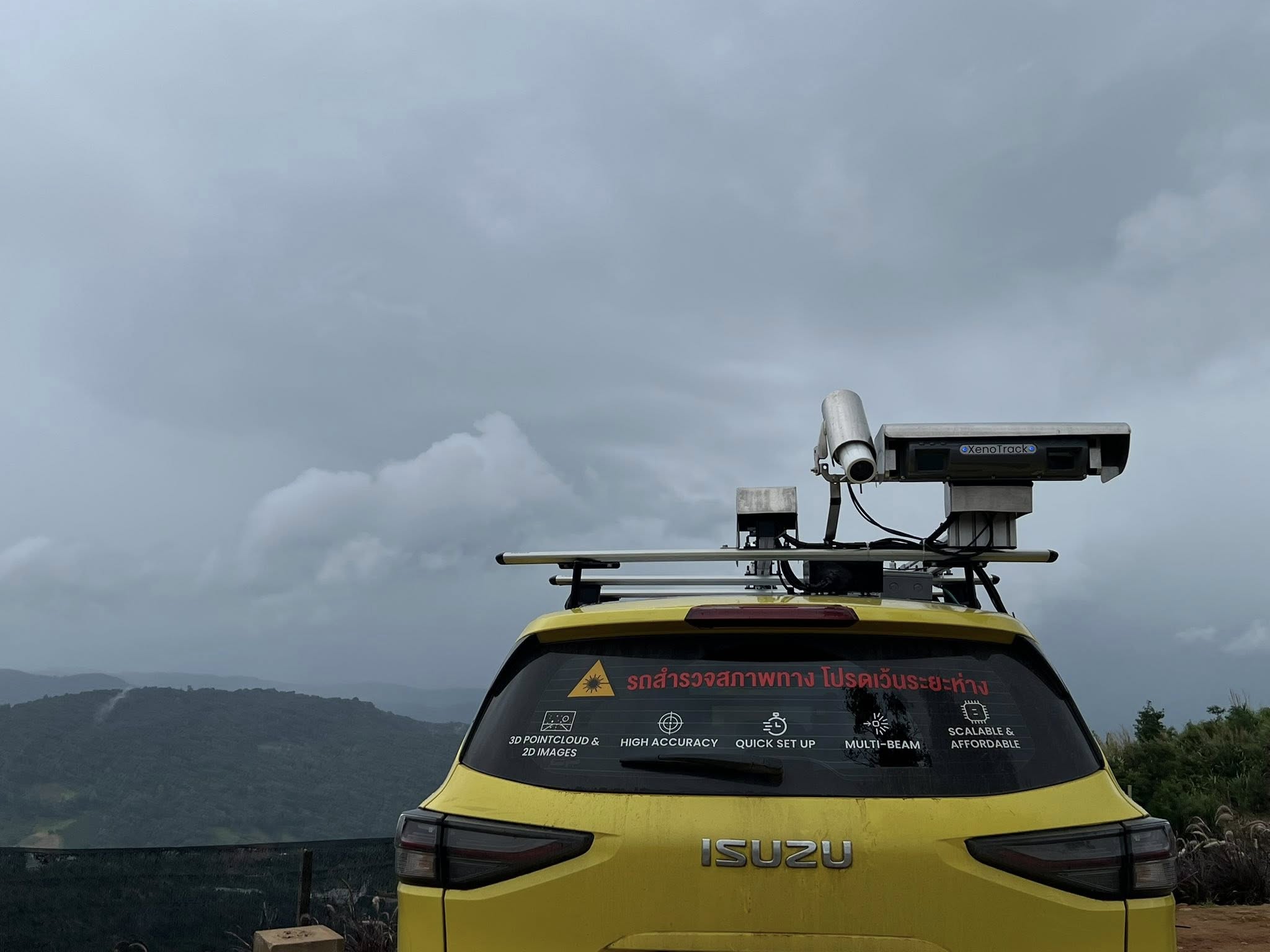
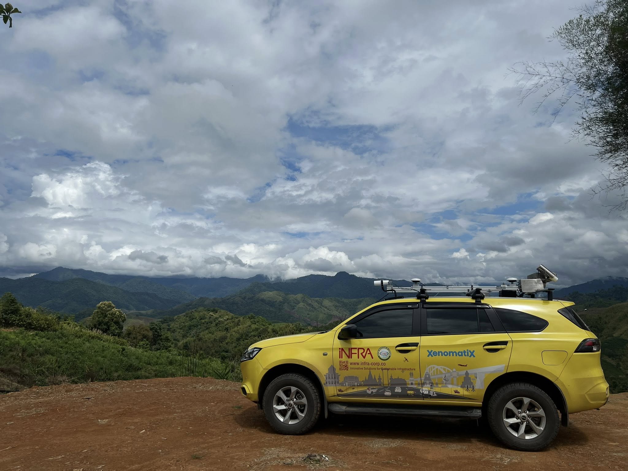
Road Survey and Pavement Inspection with XenomatiX
Experience next-generation road assessment with True Solid-State LiDAR – designed for ultra-precise road surface measurement at millimeter-level accuracy. Ideal for both public and private infrastructure projects.
Measure IRI, Rutting, and MPD in one pass while generating detailed 3D road surface profiles. With XenoWare, the built-in 3D Point Cloud software, you’ll get accurate, ready-to-use data for maintenance planning and asset management.
Certified under AASHTO R56 (NCAT) standards and equipped with GNSS positioning, XenomatiX ensures complete, precise, and reliable results for every road condition.
Key Features:
Millimeter-level accuracy for pavement inspection
Simultaneous measurement of IRI, MPD, and Rutting
Generates detailed 3D Point Cloud for analysis and mapping
Easily mounted and ready for use on standard vehicles
Suitable for nationwide surveys – from highways to mountain roads
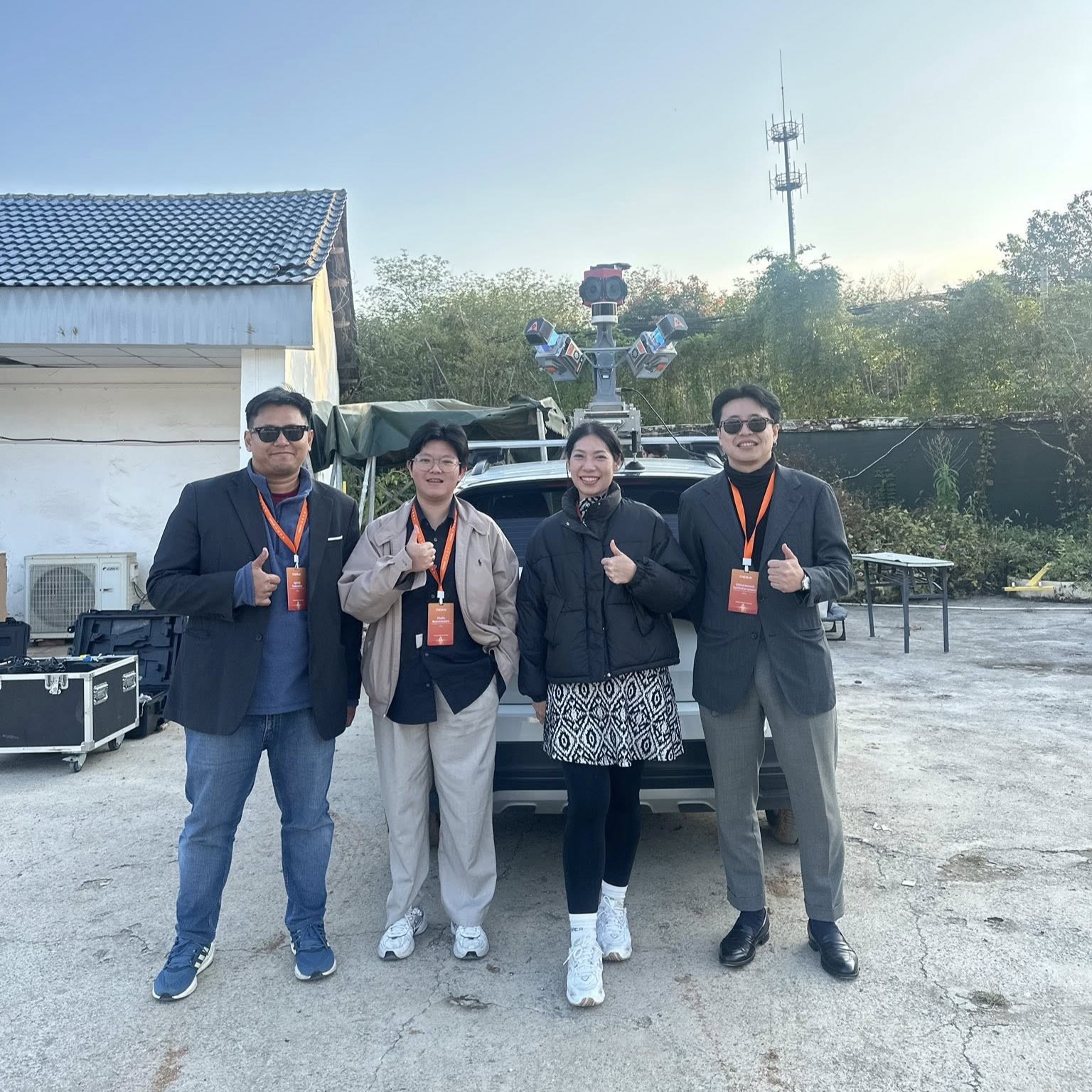
B-Innovation provides sales, survey, and road analysis services using XenomatiX technology. Our team of expert engineers offers consultation and delivers comprehensive road inspection solutions.