We are committed to fostering growth, sustainability, safety, and quality service for the nation’s infrastructure through the support, promotion, and development of our group of companies.
The objective of conducting business in the sale of innovative engineering products. This includes equipment for surveying and data collection for planning and managing infrastructure.
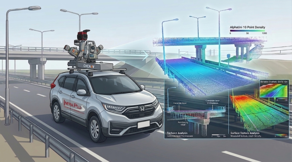
AlphaUni 20 (AU20) is a high-precision LiDAR surveying solution designed for both UAV and mobile mapping applications. It is ideal for creating Digital Twins, infrastructure surveys, and asset management systems.
Accuracy: 2–5 cm
Scan rate: up to 2 million points per second
Range: up to 1,450 m
LiDAR captures real-world data in the form of 3D point clouds, enabling:
Highly accurate distance and positioning measurements
Digital visualization of real-world environments
Immediate use for analysis, planning, and Digital Twin creation
Common challenges in asset management
Data does not match real site conditions
Assets cannot be located in the field
Maintenance planning lacks accuracy
Root cause: Poor-quality baseline data
How AlphaUni 20 solves these problems
Captures complete asset data at centimeter-level accuracy
Enables surveying while driving—no road closures required
Supports UAV, vehicle-mounted, and backpack systems
Integrates AI for automatic asset detection and counting
Visualizes all data on a single platform
Suitable applications
Road survey (Road Survey / Corridor Mapping)
Railway survey
Digital Twin / Smart City
Mining survey
Infrastructure asset management
Benefits of LiDAR surveying
Accurate asset location and quantity
Reduced need for repeated surveys
More precise maintenance planning
Scalable to digital asset management systems
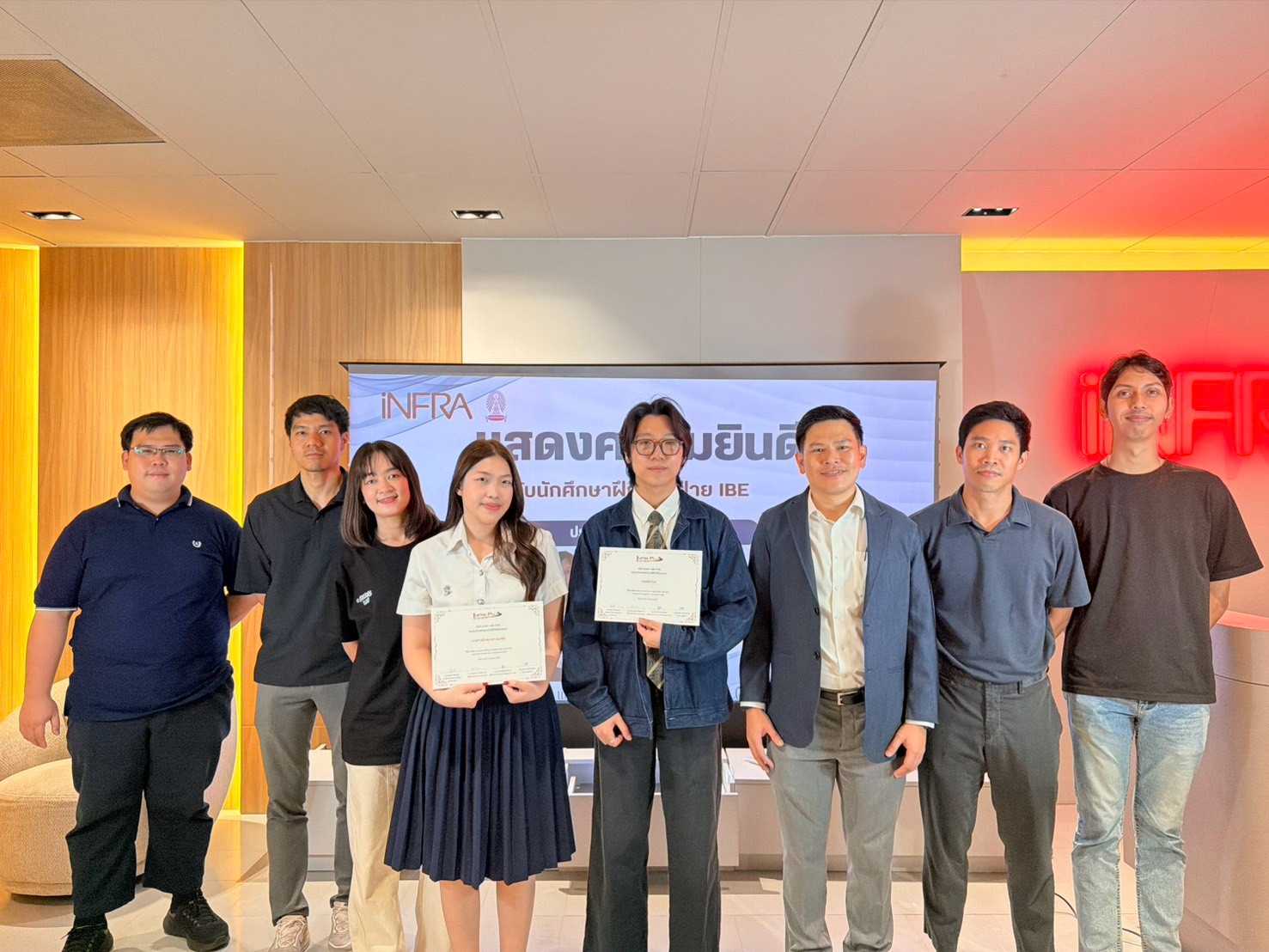
INFRA SERVE provides LiDAR surveying services using AlphaUni 20, supported by an expert team and a complete data processing workflow.