We are committed to fostering growth, sustainability, safety, and quality service for the nation’s infrastructure through the support, promotion, and development of our group of companies.
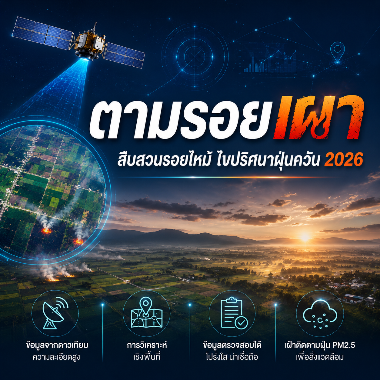
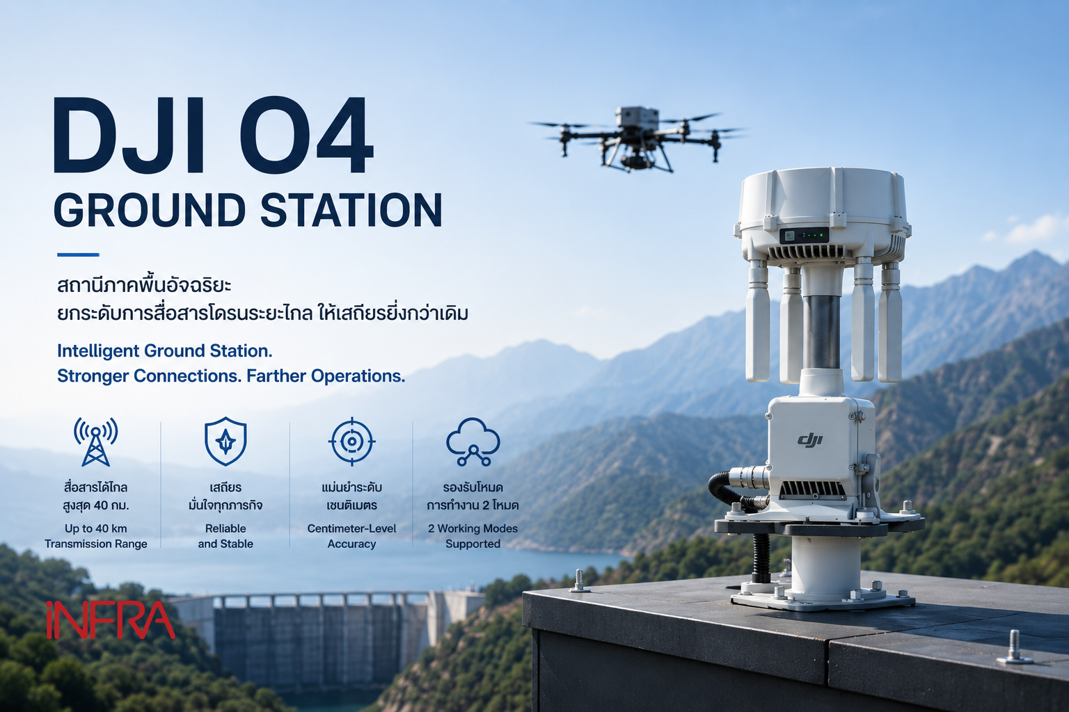
The objective of conducting business in the sale of innovative engineering products. This includes equipment for surveying and data collection for planning and managing infrastructure.
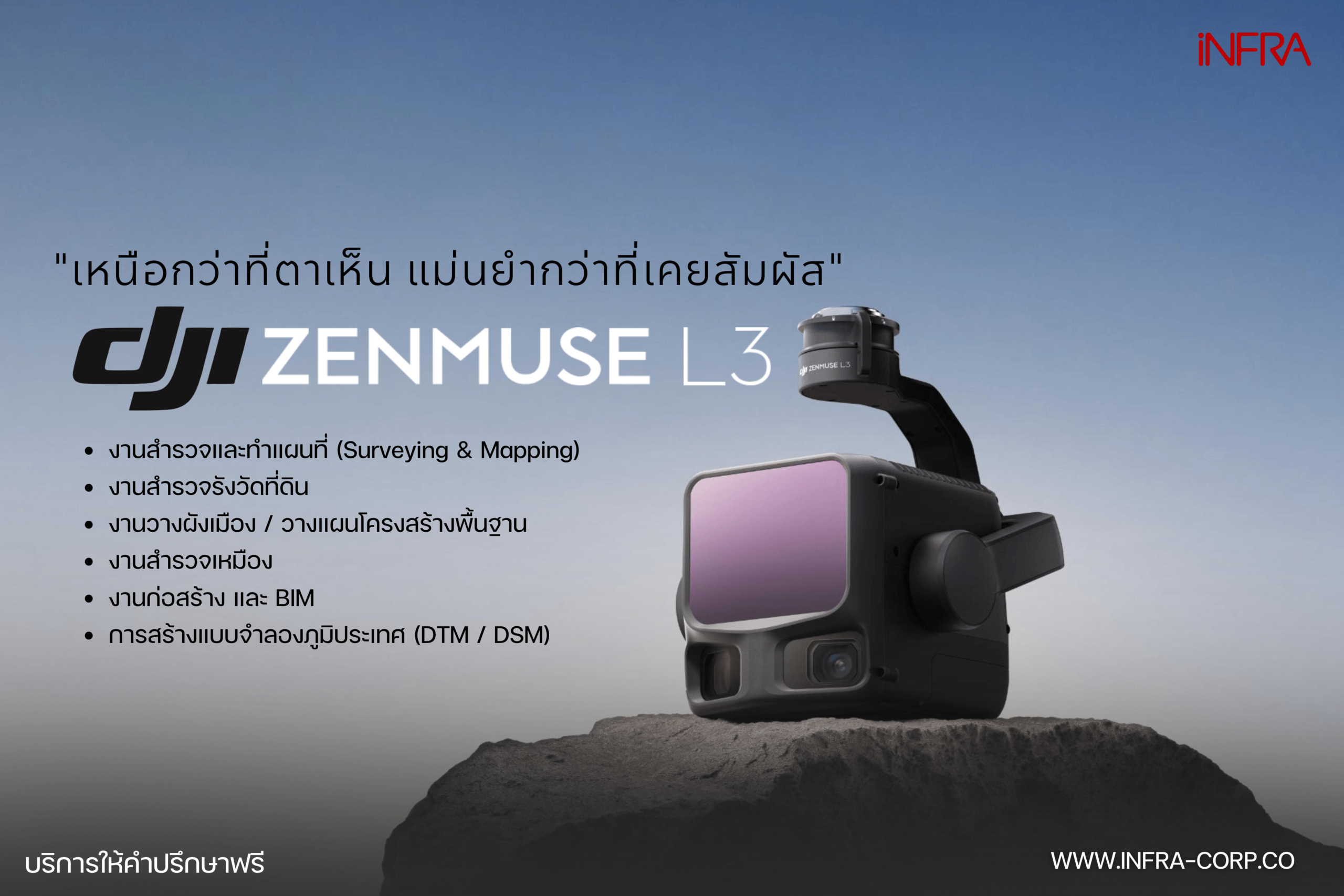
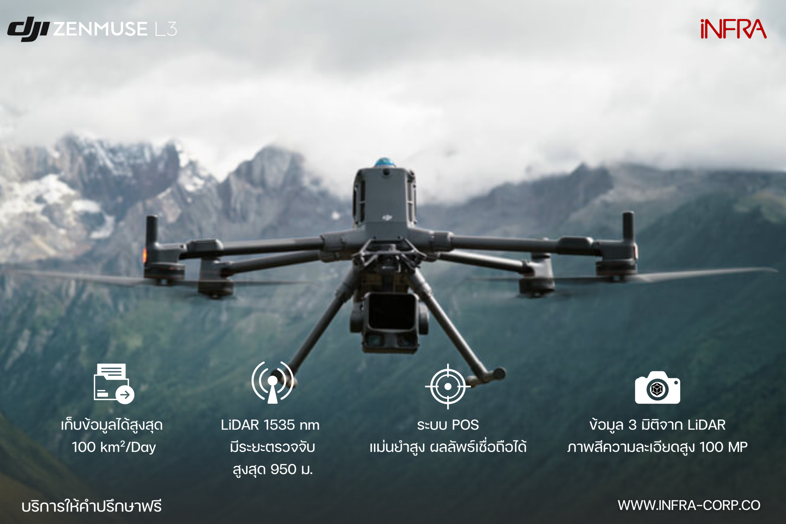
Survey-Grade LiDAR Drone for High-Precision 3D Mapping
Elevating Surveying and Mapping to a New Industry Standard
In today’s engineering, infrastructure, and urban planning projects, centimeter-level terrain accuracy is essential. LiDAR technology has become a core tool for professionals who demand precise and reliable geospatial data.
DJI Zenmuse L3 is the latest LiDAR solution from DJI Enterprise, combining high-resolution laser scanning with dual 100MP RGB cameras and advanced processing capabilities. It enables highly accurate, efficient, and comprehensive workflows for 3D Mapping, Digital Elevation Model (DEM) generation, Topographic Survey, and Infrastructure Inspection—delivering performance beyond traditional mapping solutions.