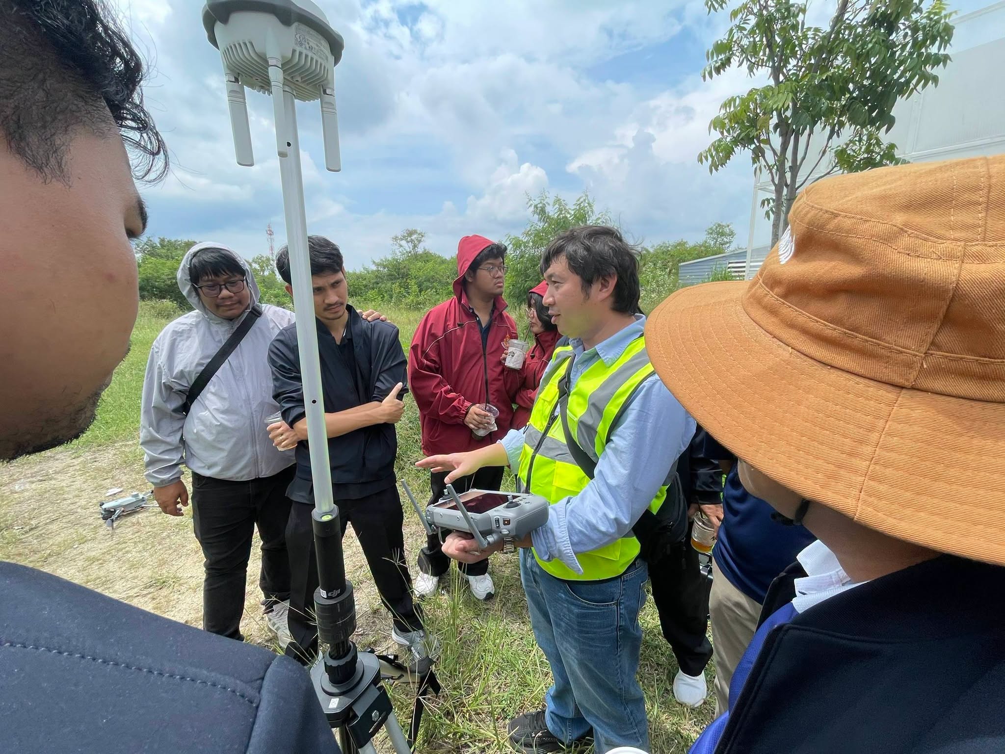
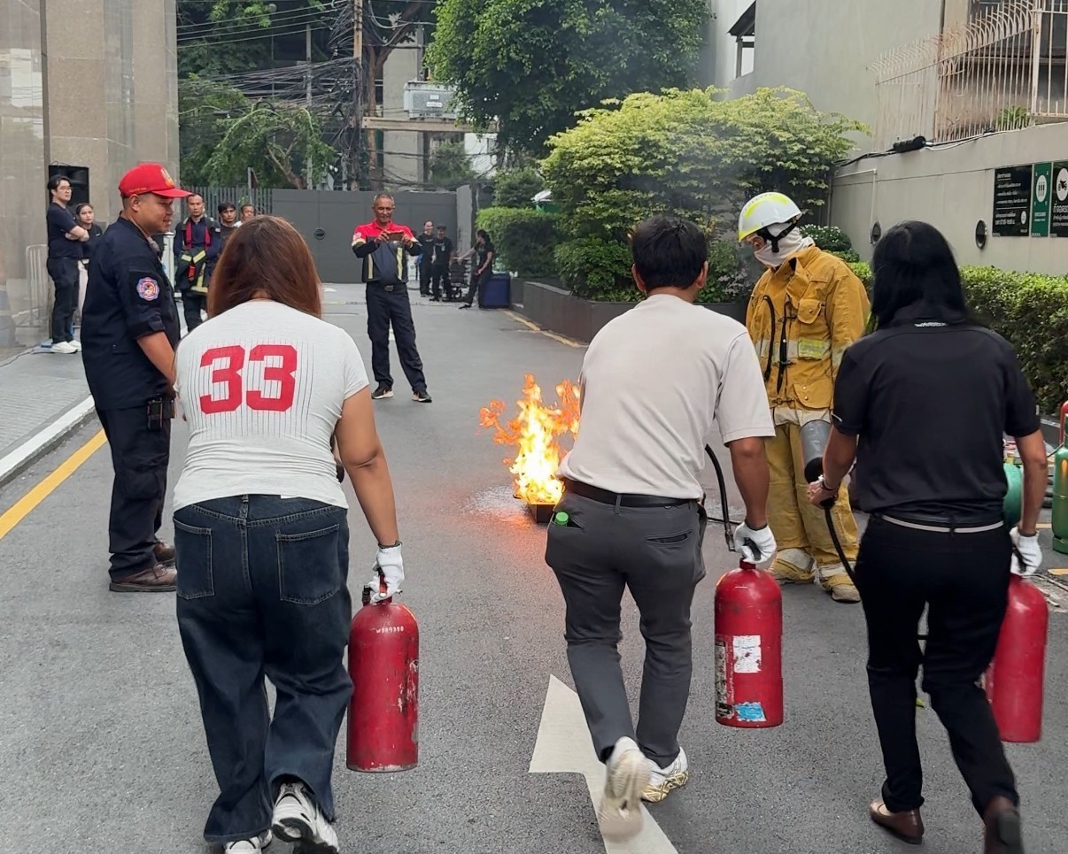
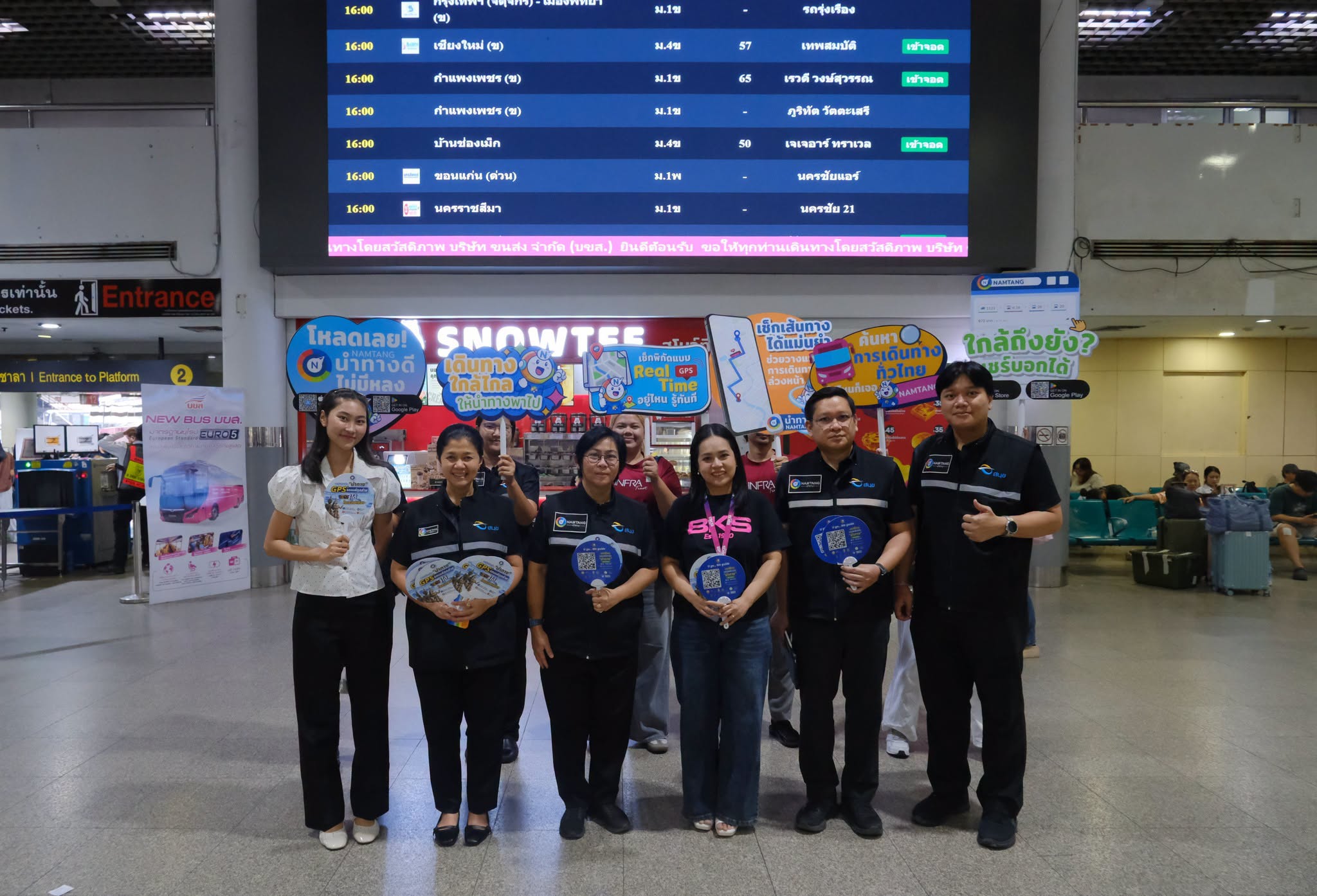
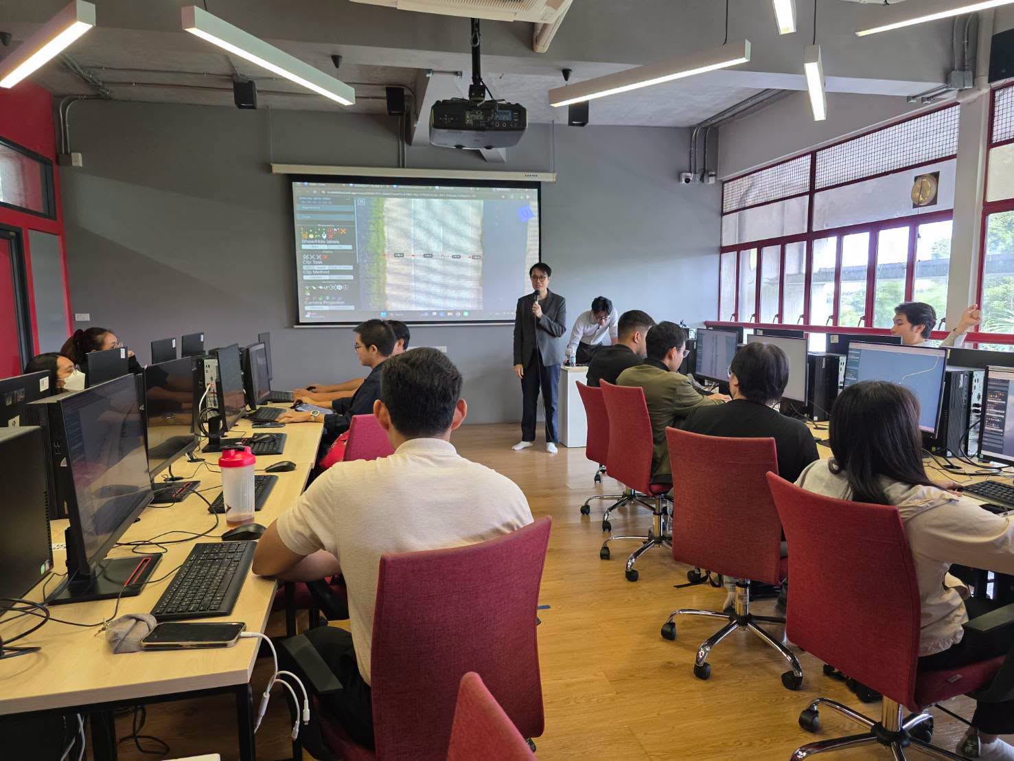
We are committed to fostering growth, sustainability, safety, and quality service for the nation’s infrastructure through the support, promotion, and development of our group of companies.
The objective of conducting business in the sale of innovative engineering products. This includes equipment for surveying and data collection for planning and managing infrastructure.
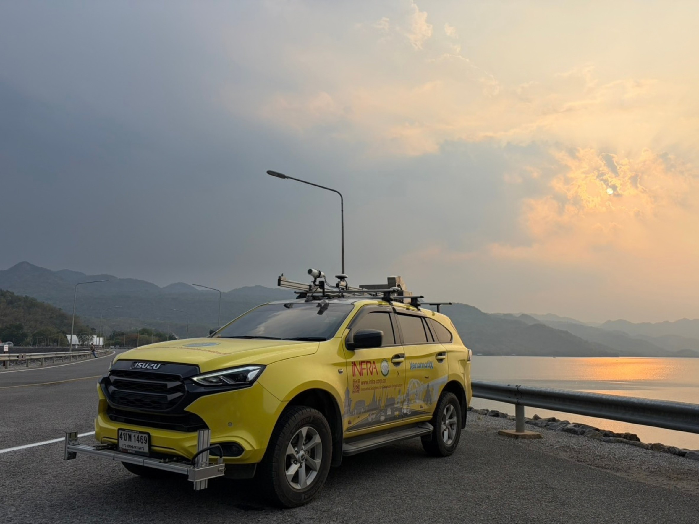
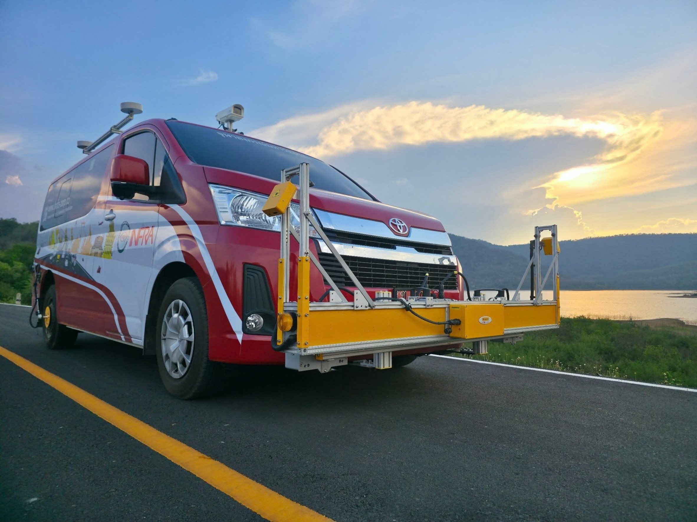
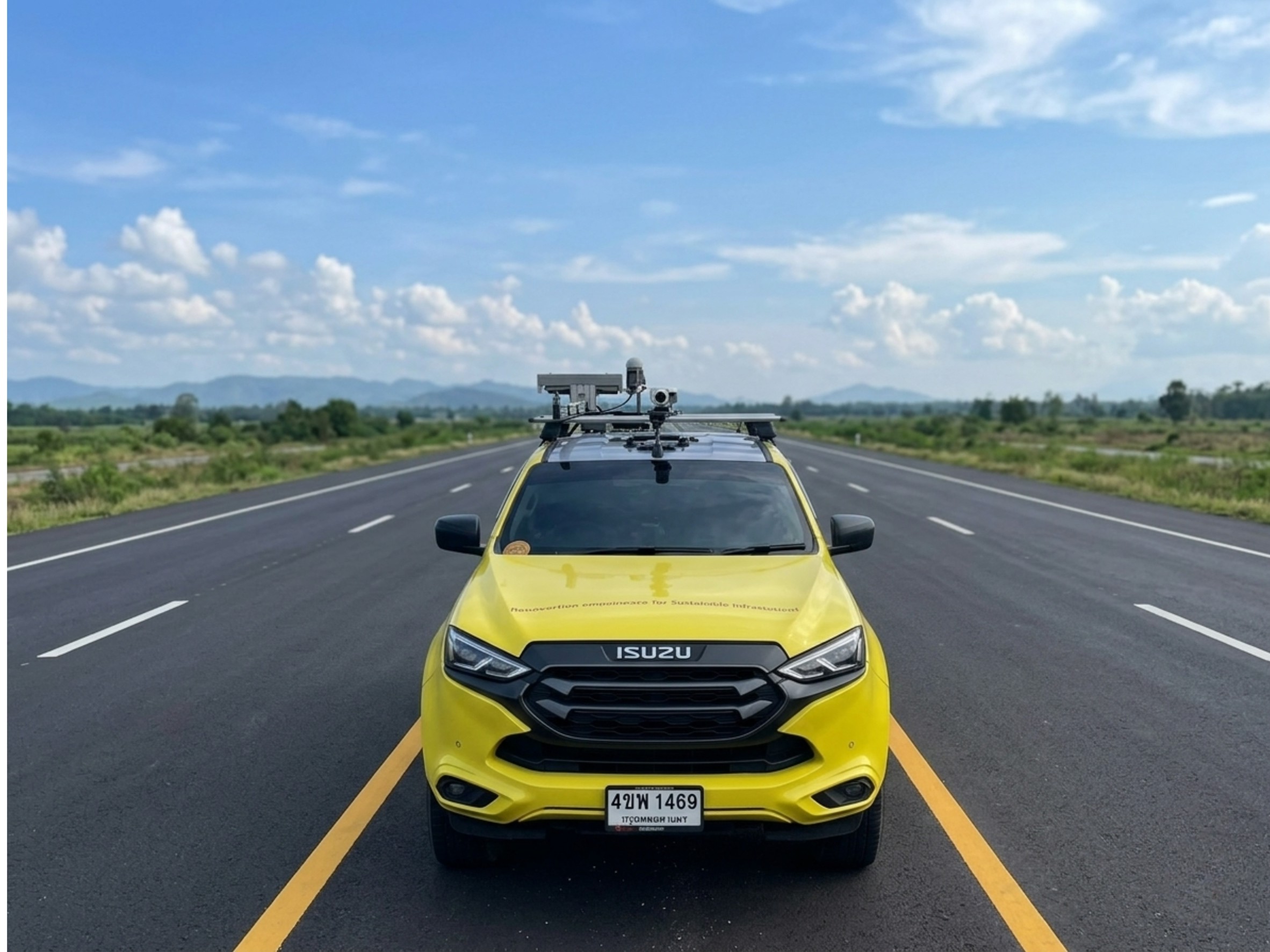
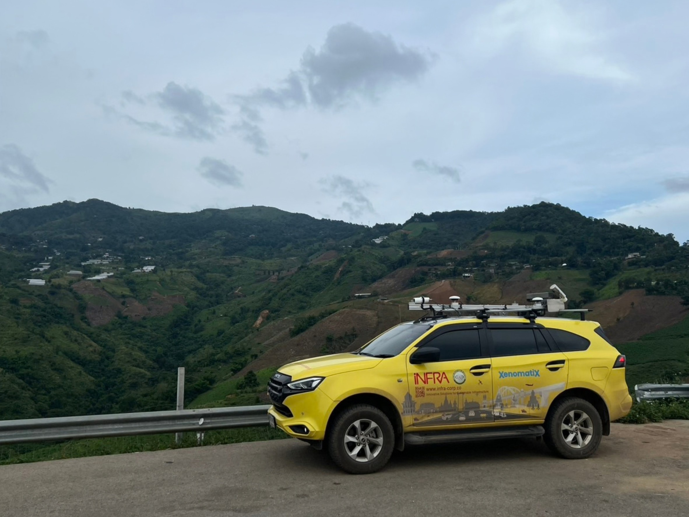
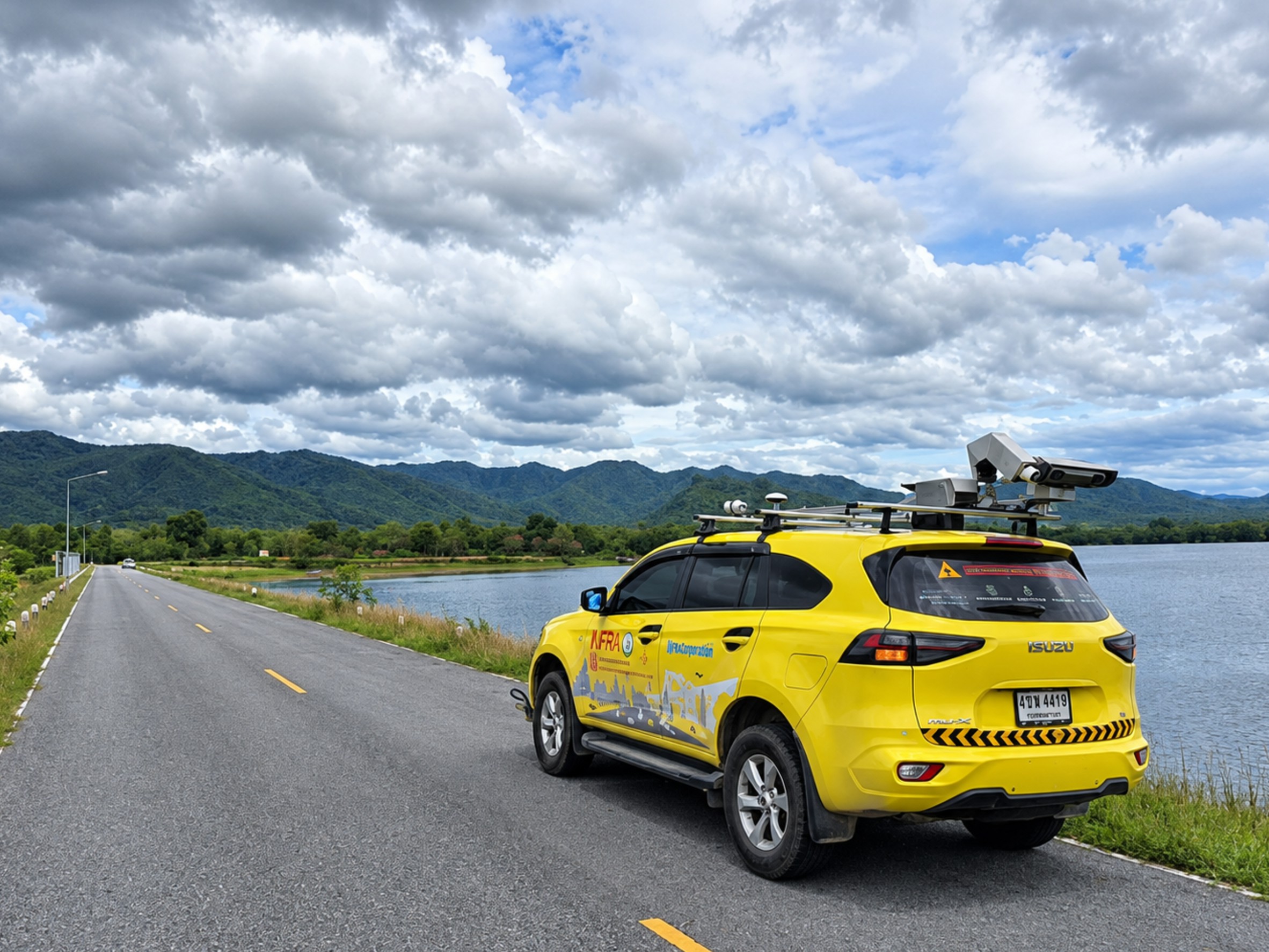
iNFRA provides XenomatiX road surface survey services for organizations requiring 3D road condition data and georeferenced information for road assessment, analysis, and network management—without the need to invest in their own road survey system.
Our service covers the complete survey workflow, from survey planning and field data collection to data processing, analysis, preparation, and delivery, based on the objectives and scope of each project.
What Does the XenomatiX Road Survey Service Include?
XenomatiX Mobile Road Survey Continuous road surface data collection using the XenomatiX system while the survey vehicle is in motion.
3D Road Surface & Point Cloud Collection of 3D road surface and Point Cloud data to support analysis of road surface characteristics and geometry.
IRI & Rutting Collection of International Roughness Index (IRI) and rutting data for road surface condition assessment.
Longitudinal & Transversal Profile Collection of longitudinal and transverse profiles to support pavement and road geometry analysis according to the project scope.
Road Distress Survey & Analysis Survey and analysis of road distresses such as Cracks, Potholes, Patches, Ravelling, and Faulting, depending on the system configuration and project scope.
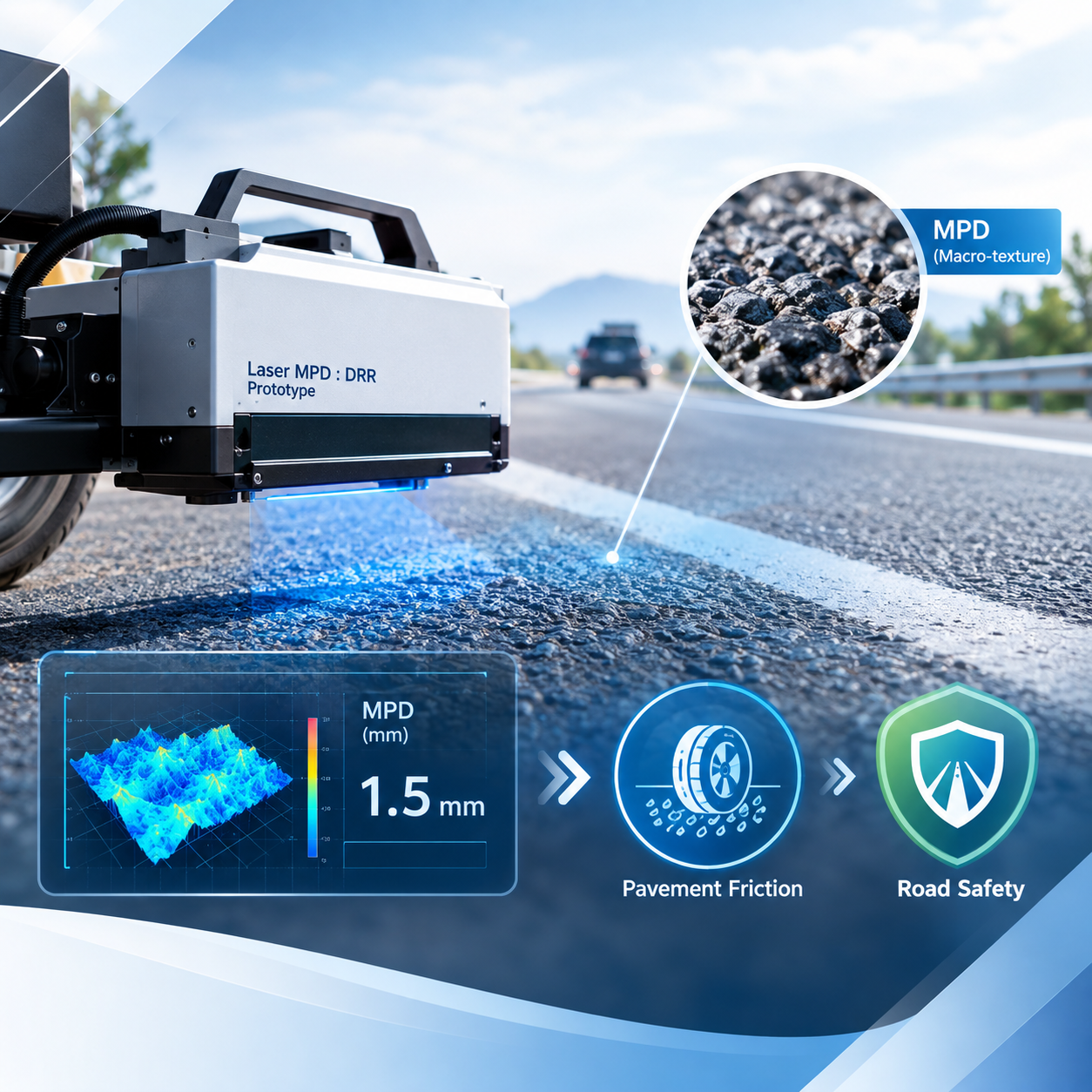
MPD / Macrotexture Collection of Mean Profile Depth (MPD) and Macrotexture data according to the project requirements.
Road Markings Collection of road marking location and Intensity / Reflectivity data, depending on the system configuration and project scope.
Georeferenced Road Data Collection of road condition data linked to geographic coordinates for GIS applications.
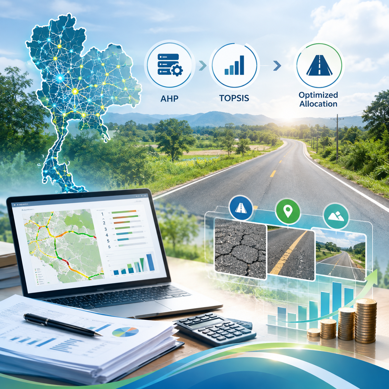
GIS & Road Management Data Preparation of data to support GIS, Pavement Management, and Road Asset Management applications.
Our Road Survey Process
Survey Planning Define the project objectives, survey area, road length, and required data outputs.
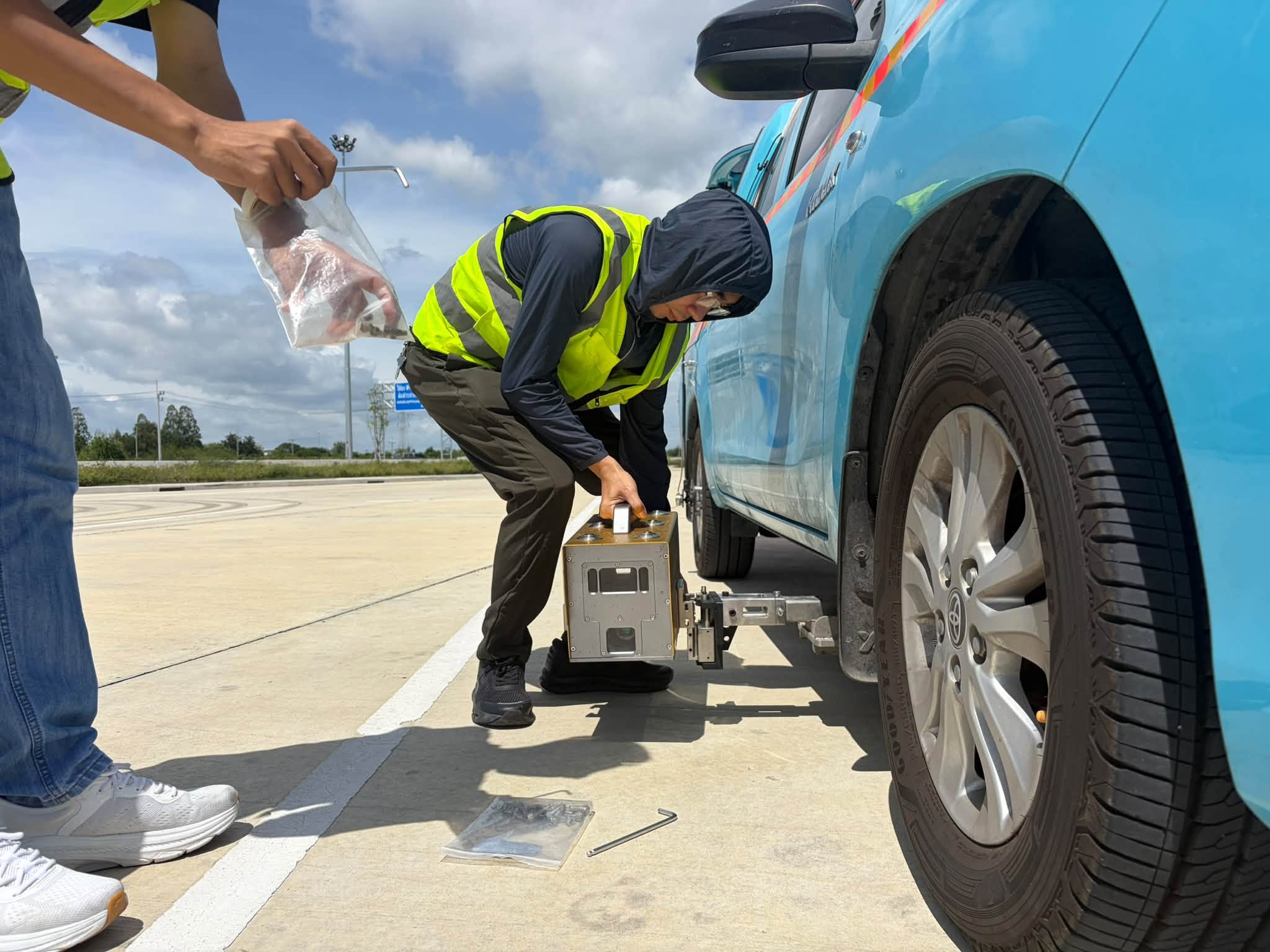
Mobile Road Survey Collect continuous road condition data using the XenomatiX system while the survey vehicle is in motion.
Data Processing Process LiDAR, Camera, and Geospatial Data according to the project scope.
Data Analysis Analyze road surface condition data and relevant indicators based on the project objectives.
Data Delivery Prepare and deliver the survey outputs in formats suitable for applications such as GIS, Road Databases, or survey reports.
XenomatiX survey data enables organizations to collect road condition information at both project and network levels, with georeferenced data that can support road condition analysis, assessment, and road management planning.