We are committed to fostering growth, sustainability, safety, and quality service for the nation’s infrastructure through the support, promotion, and development of our group of companies.
The objective of conducting business in the sale of innovative engineering products. This includes equipment for surveying and data collection for planning and managing infrastructure.
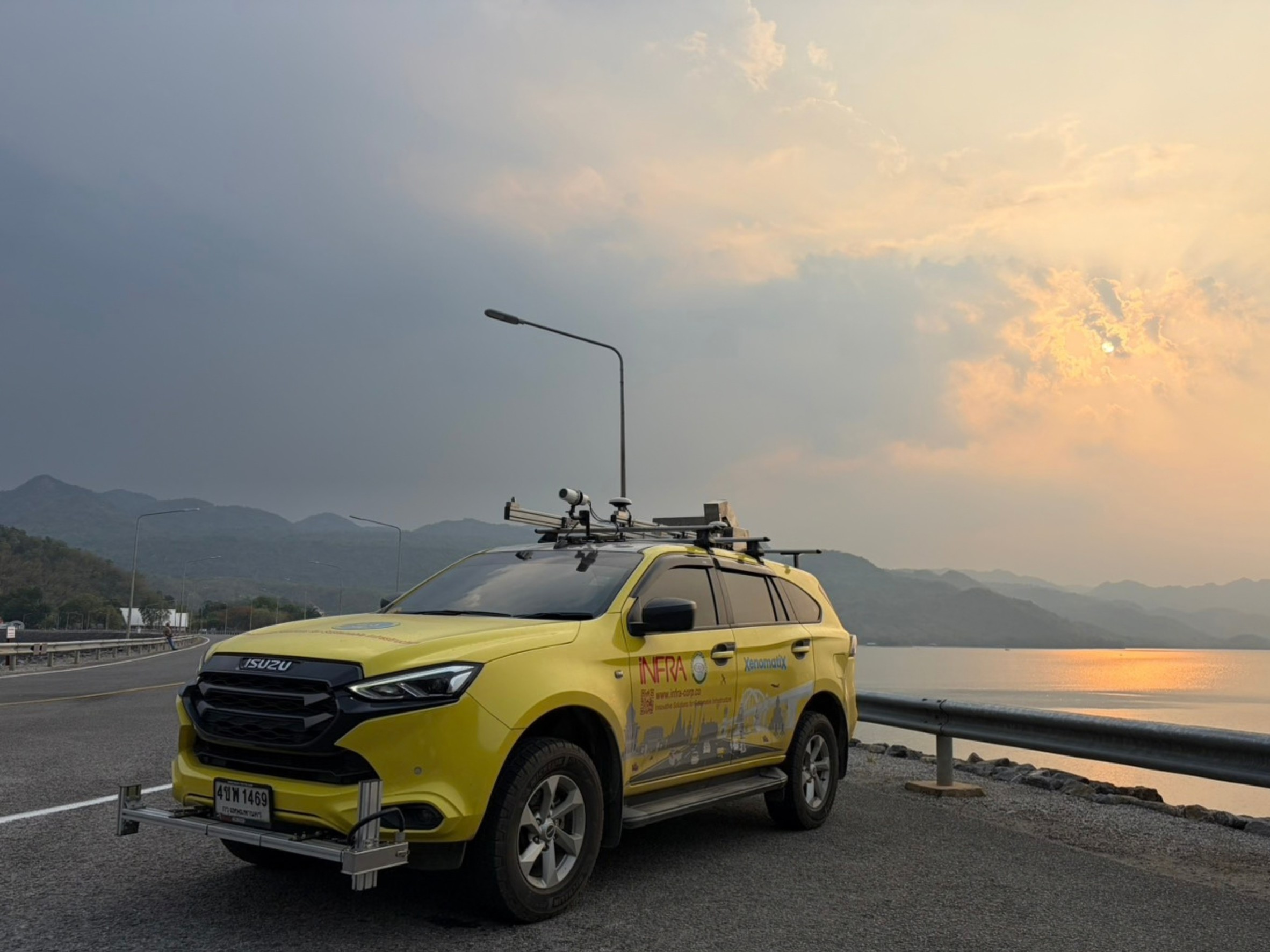
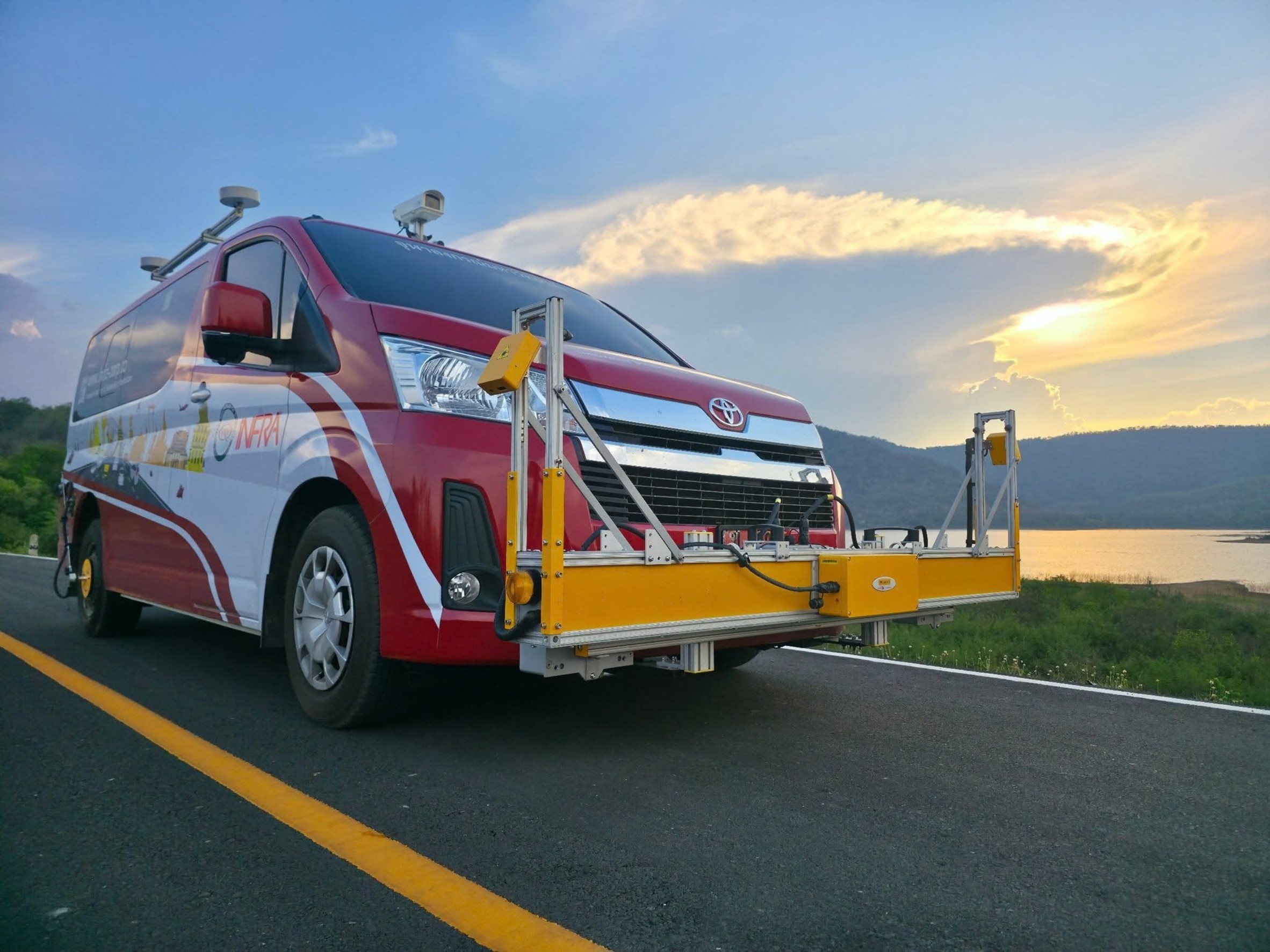
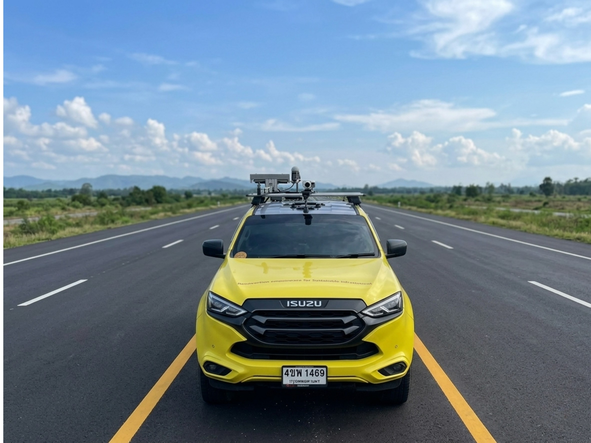
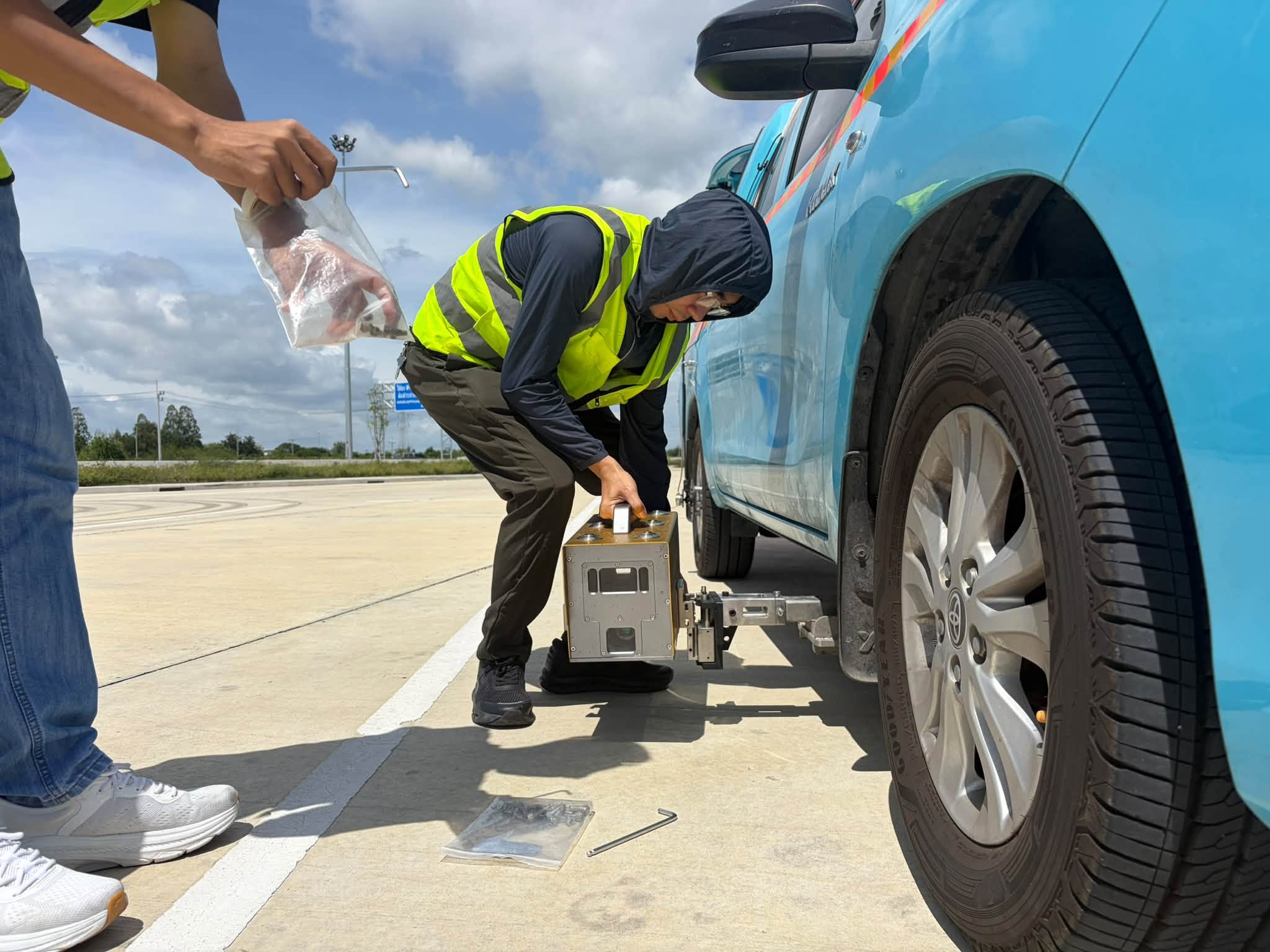
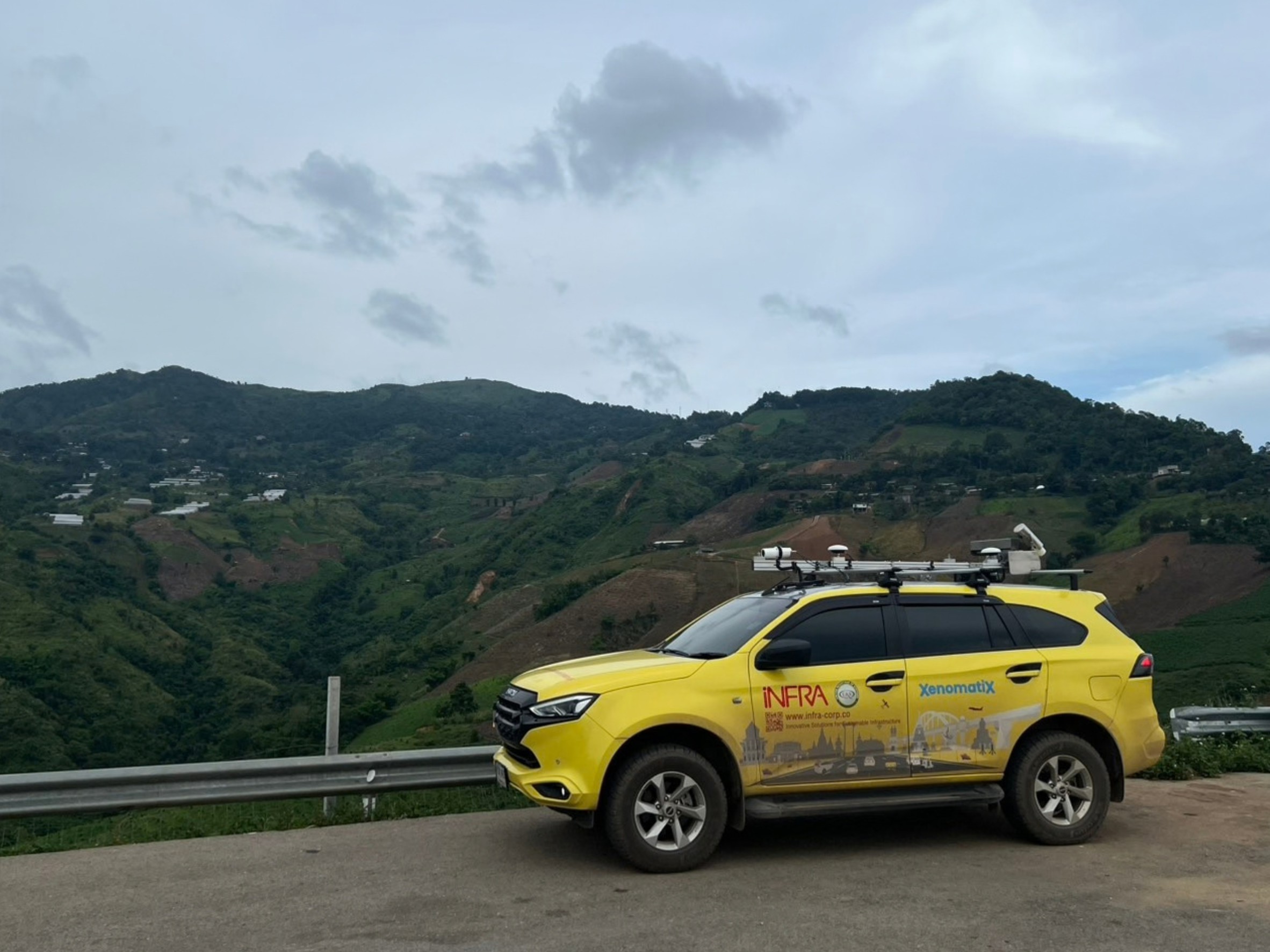
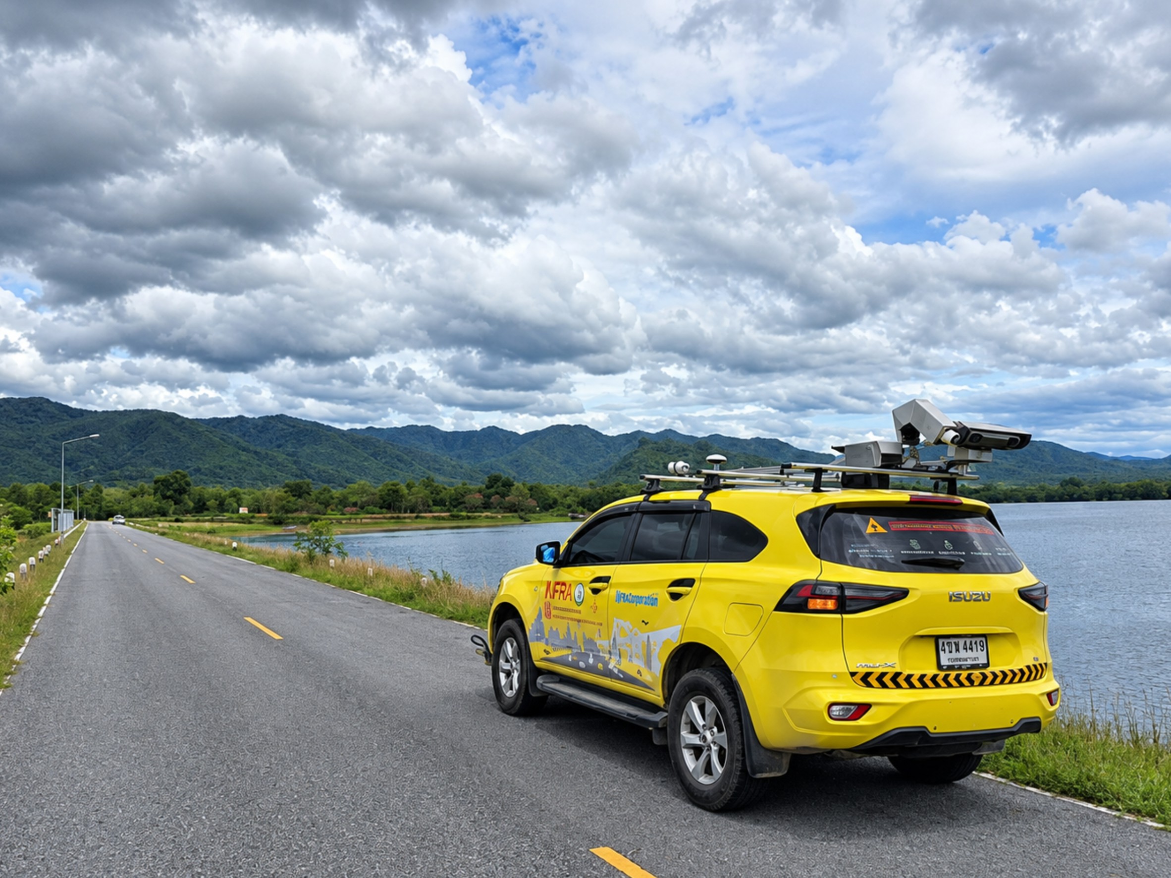
XenomatiX is a True Solid-State LiDAR road surface survey system designed to collect 3D road surface data while integrating LiDAR, camera, and georeferenced data. The system supports road condition analysis and applications in Pavement Management, Road Asset Management, and GIS.
XenomatiX supports both Single Lane and Dual Lane surveys, making it suitable for projects ranging from individual road surveys to large-scale road network surveys.
Key Technology & Features
True Solid-State LiDAR Solid-State LiDAR technology without moving mechanical scanning components for continuous 3D road surface data collection.
High-Resolution 3D Road Data Captures 3D road surface data to support pavement condition, road geometry, and surface analysis.
3D + 2D Data Integration Combines 3D LiDAR data with 2D camera imagery to provide additional information for pavement condition analysis and distress identification.
Single Lane / Dual Lane Supports surveying one or two traffic lanes in a single survey run. The Dual Lane configuration provides an approximately 7.5-meter survey width, according to the manufacturer.
Survey Speed up to 90 km/h The XenoTrack system can collect data while the survey vehicle is moving at speeds of 0–90 km/h, according to the manufacturer.
More Than 1 Million Points per Second Both Single Lane and Dual Lane XenoTrack configurations support a data collection rate of more than 1 million points per second, according to the manufacturer.
Supported Data & Outputs
3D Road Surface / Point Cloud – 3D road surface data for analyzing road geometry, elevation, and surface characteristics.
IRI – International Roughness Index – Road roughness data for evaluating pavement smoothness.
Rutting – Data on wheel-path deformation and pavement rutting.
Longitudinal & Transversal Profile – Longitudinal and transverse profiles supporting Evenness and Cross Slope analysis.
Road Distress – Data for detecting and analyzing pavement distresses such as Cracks, Potholes, Patches, Ravelling, and Faulting, with LiDAR, Camera, and AI integration depending on system configuration.
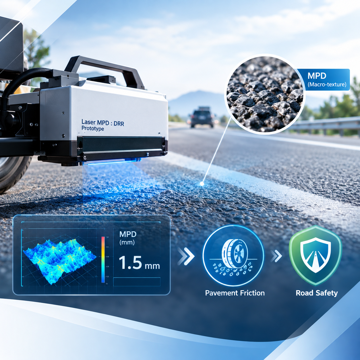
MPD / Macrotexture – Mean Profile Depth (MPD) data for analyzing pavement surface characteristics and Macrotexture.
Pavement Condition Assessment / PCI – Pavement condition data that can be used as part of PCI assessment.
Road Markings – Road marking location and Intensity / Reflectivity data, depending on system configuration.
Georeferenced Road Data – Georeferenced road condition data for integration with GIS applications.
Turning Survey Data into Road Intelligence
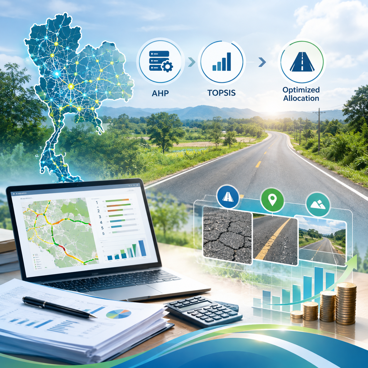
XenomatiX enables road surface survey data to be further utilized for systematic road network analysis, assessment, and management—from high-resolution 3D road surface data to pavement condition and georeferenced data for Pavement Management, Road Asset Management, and GIS applications.