We are committed to fostering growth, sustainability, safety, and quality service for the nation’s infrastructure through the support, promotion, and development of our group of companies.
The objective of conducting business in the sale of innovative engineering products. This includes equipment for surveying and data collection for planning and managing infrastructure.
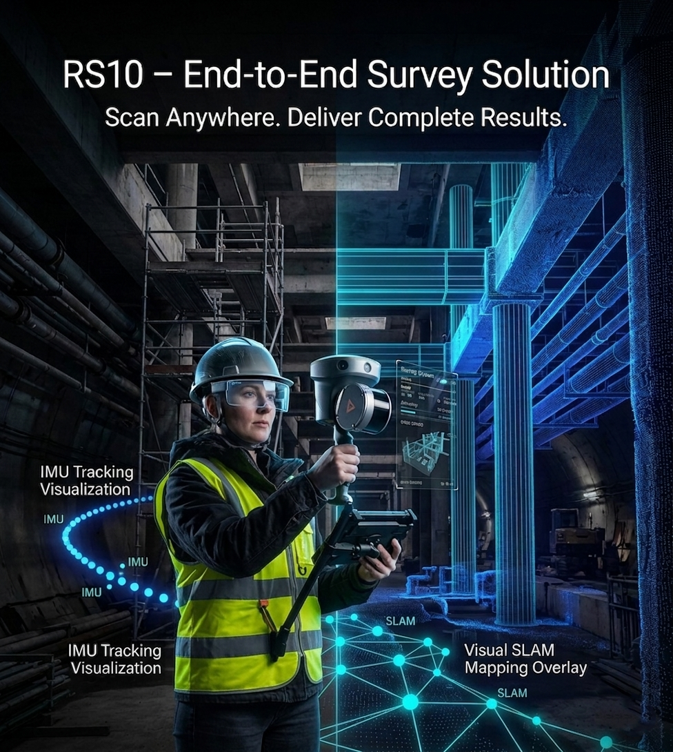
Areas where GNSS signals are unavailable should not limit your survey work. RS10 enables accurate 3D data capture in any environment, supported by a complete end-to-end service—from field survey to delivery of ready-to-use results.
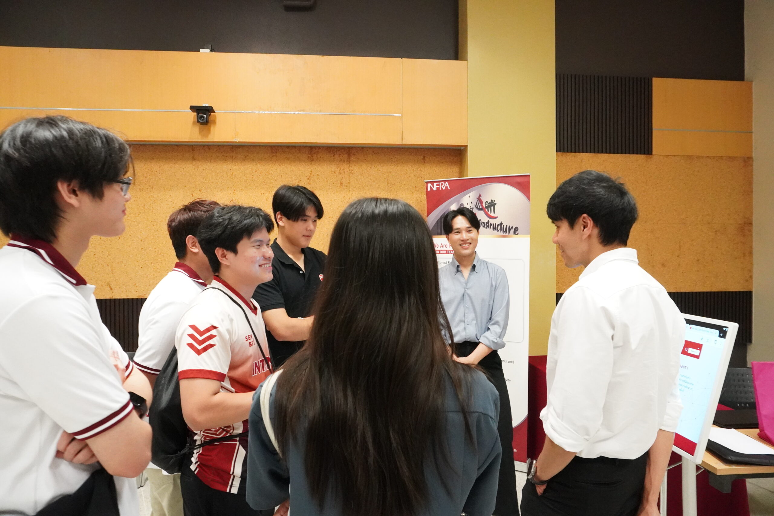
The Company participated as a speaker in an academic seminar to support the development of Program Learning Outcomes (PLO) for the Geoinformatics program at Songkhla Rajabhat University. The session delivered industry perspectives to help align the curriculum with future labor market demands and employer needs.