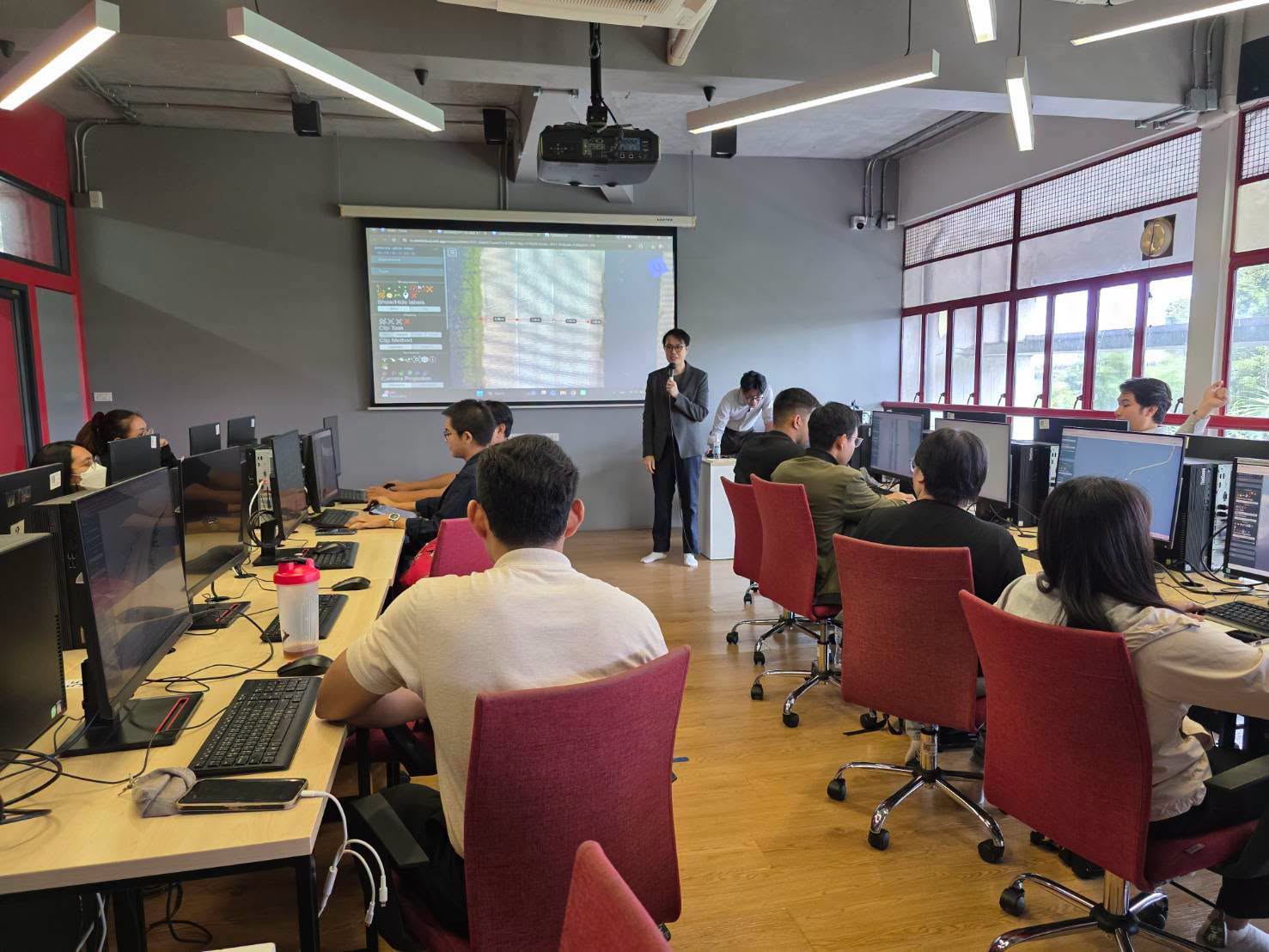
We are committed to fostering growth, sustainability, safety, and quality service for the nation’s infrastructure through the support, promotion, and development of our group of companies.
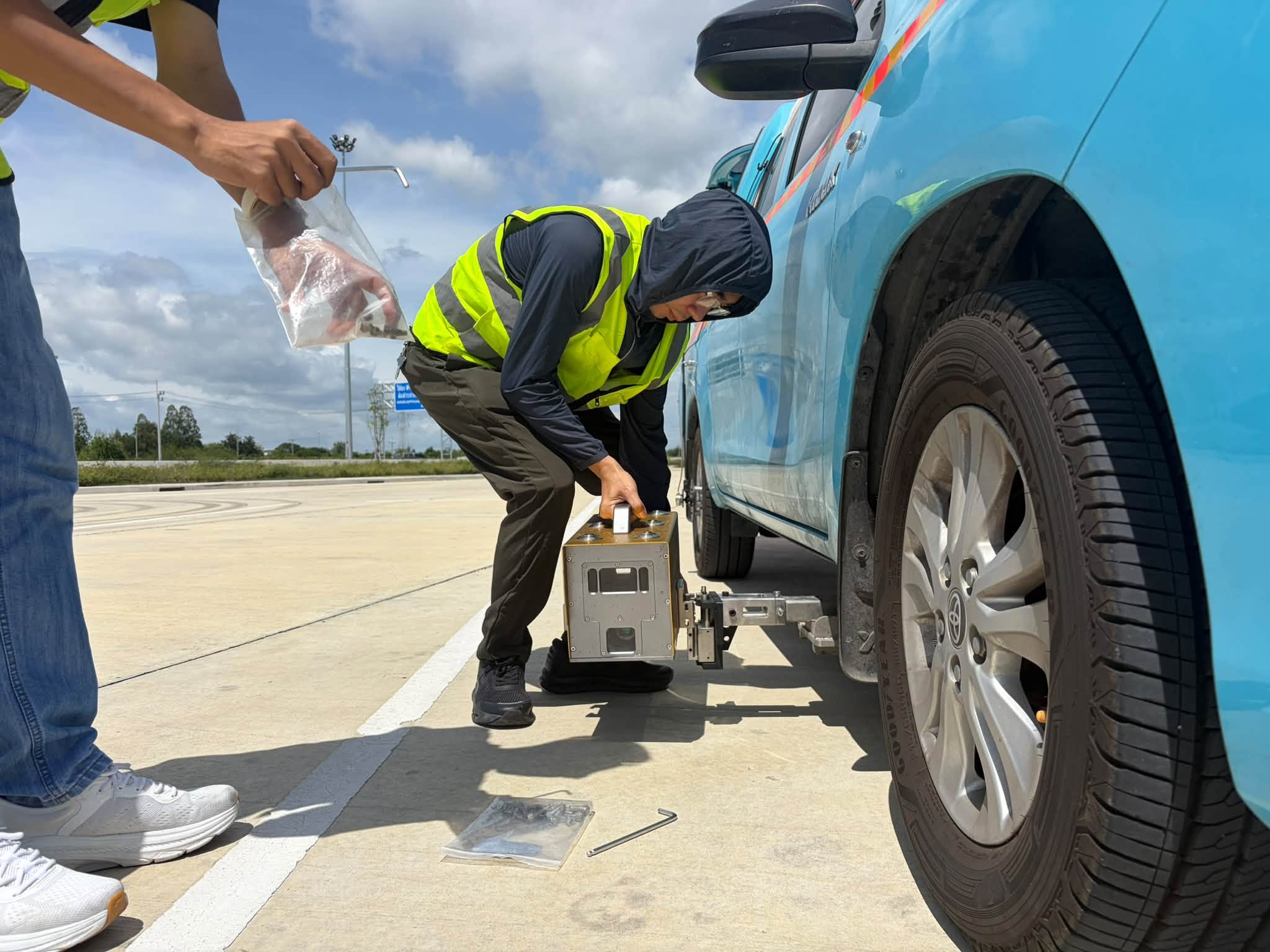
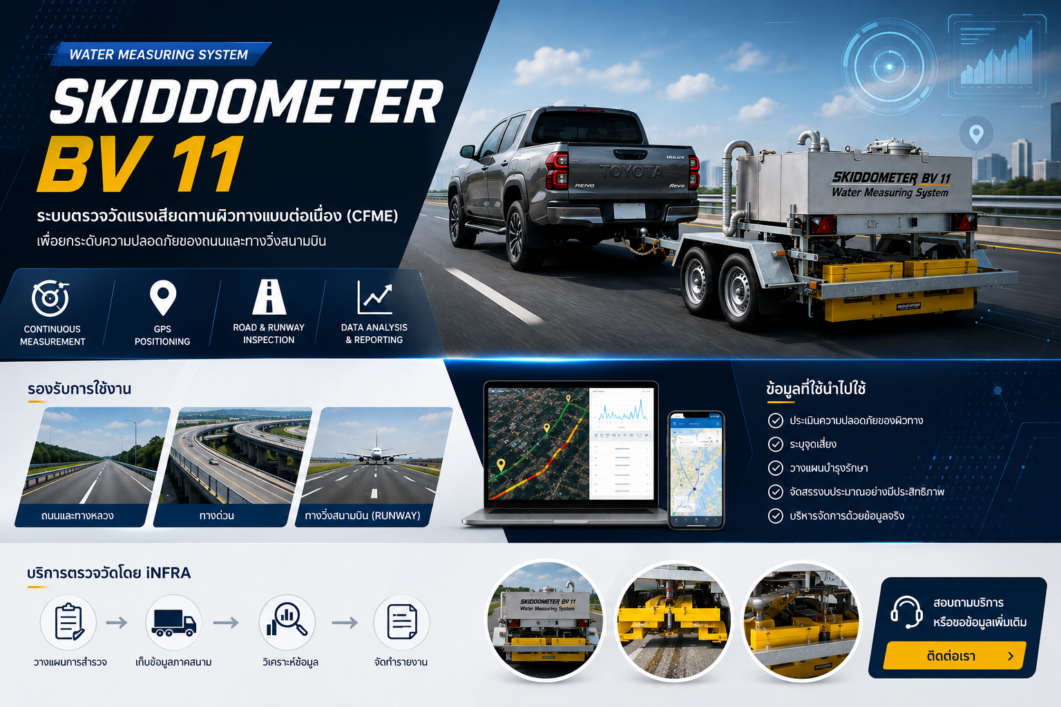
The objective of conducting business in the sale of innovative engineering products. This includes equipment for surveying and data collection for planning and managing infrastructure.
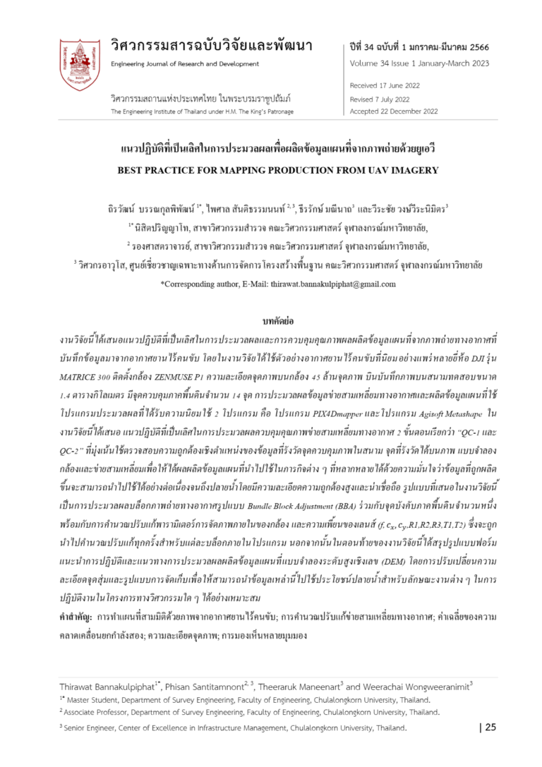
Research Title : BEST PRACTICE FOR MAPPING PRODUCTION FROM UAV IMAGERY
Co-Researchers : Dr. Weerachai Wongweeranimit and Mr. Theeraruk Maneenart
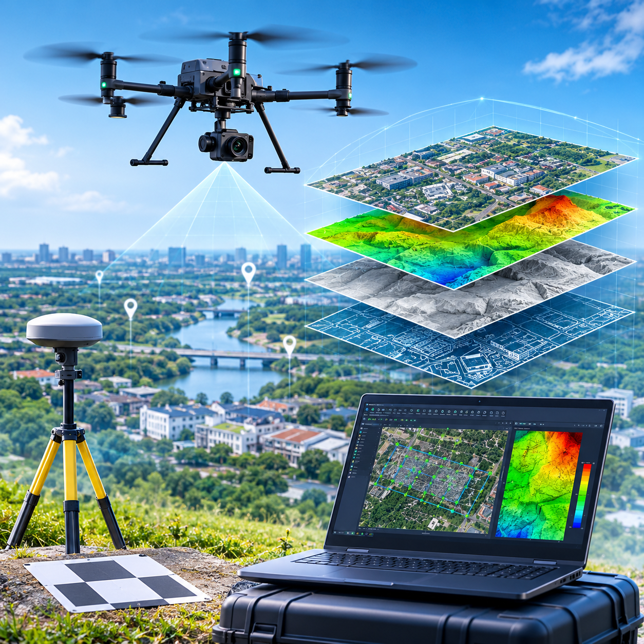
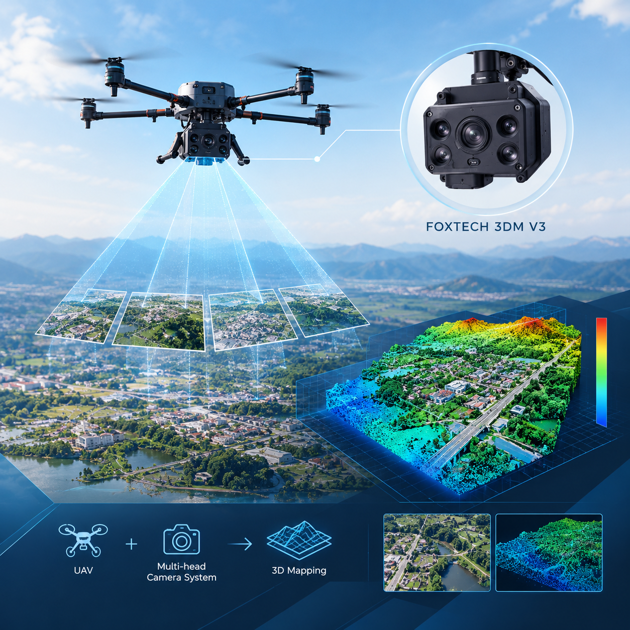
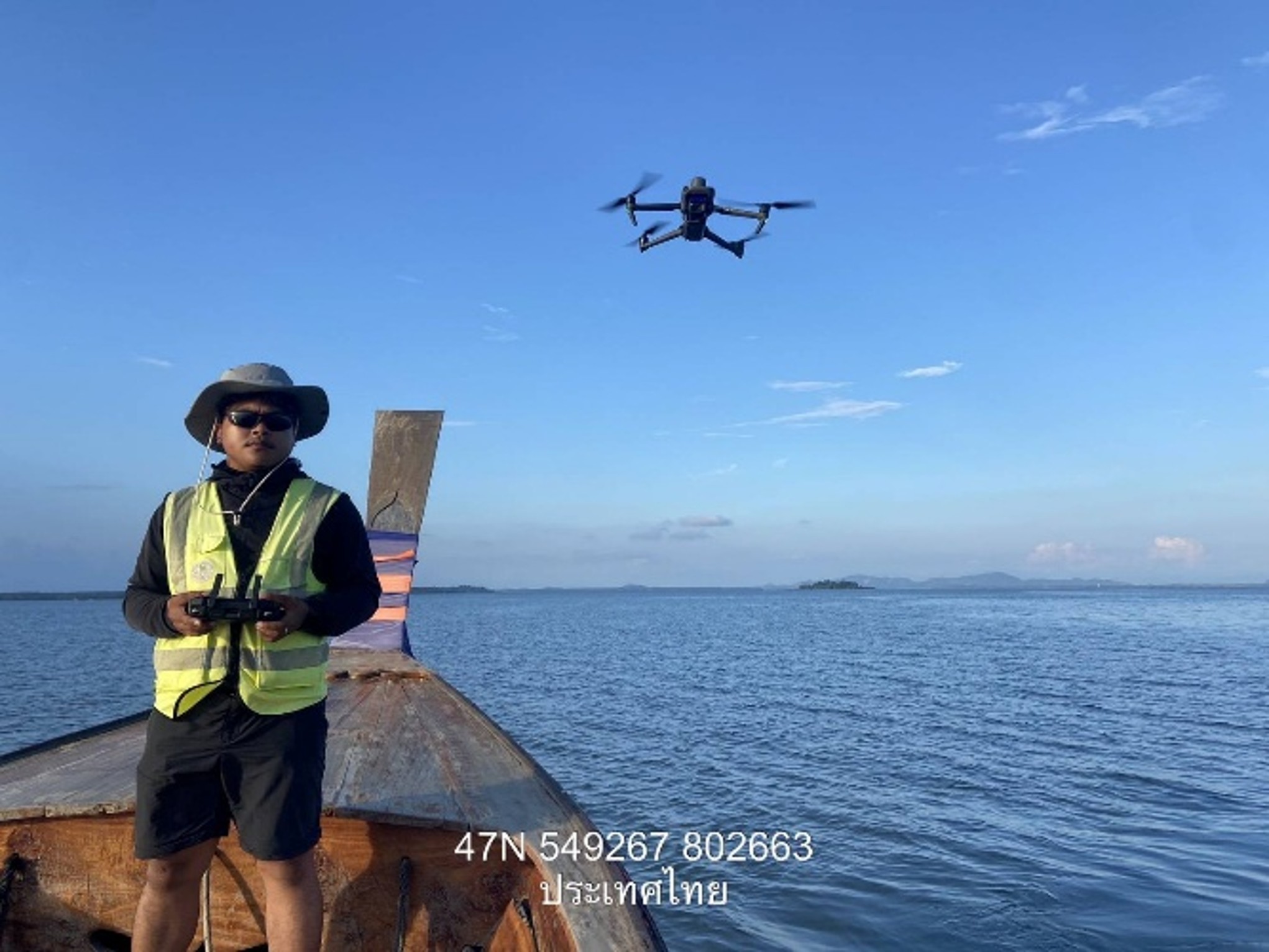
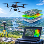
The study examines UAV imagery processing using a DJI Matrice 300 equipped with a 45-megapixel Zenmuse P1 camera. The test area covers 1.4 square kilometers with 14 Ground Control Points (GCPs). The imagery is processed using PIX4Dmapper and Agisoft Metashape.
The research presents a two-stage quality control approach, QC-1 and QC-2, focusing on the positional accuracy of ground control points, camera models, and aerial imagery. It also addresses Bundle Block Adjustment (BBA) to improve the reliability of mapping outputs. In addition, the study provides guidelines for generating Digital Elevation Models (DEM), considering point resolution and data storage formats to suit different applications.