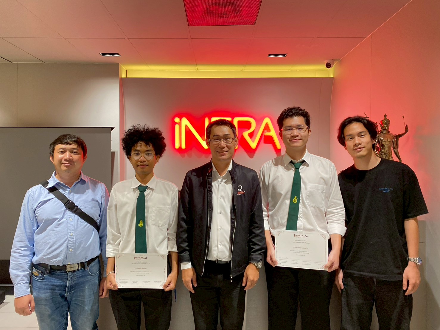
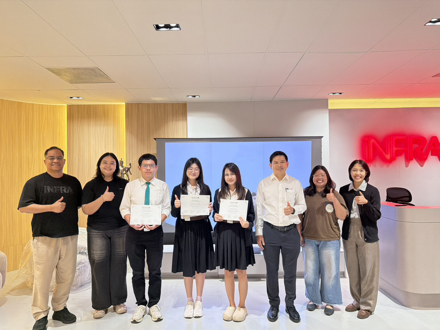
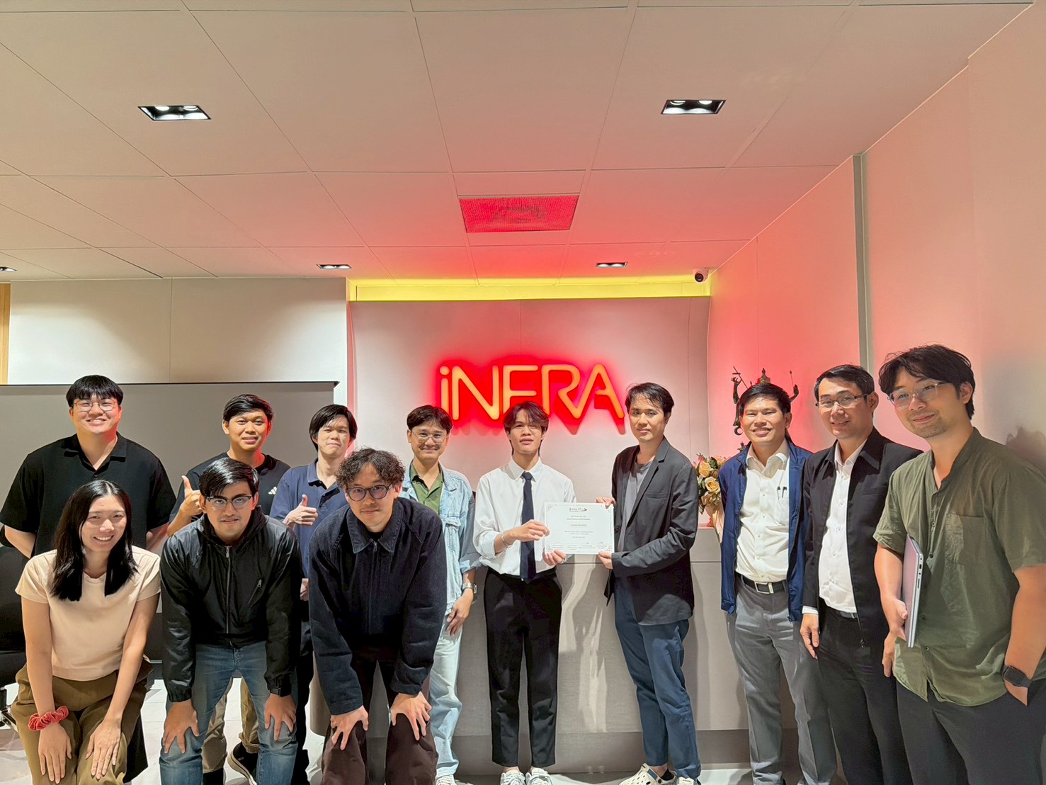
We are committed to fostering growth, sustainability, safety, and quality service for the nation’s infrastructure through the support, promotion, and development of our group of companies.
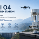
The objective of conducting business in the sale of innovative engineering products. This includes equipment for surveying and data collection for planning and managing infrastructure.
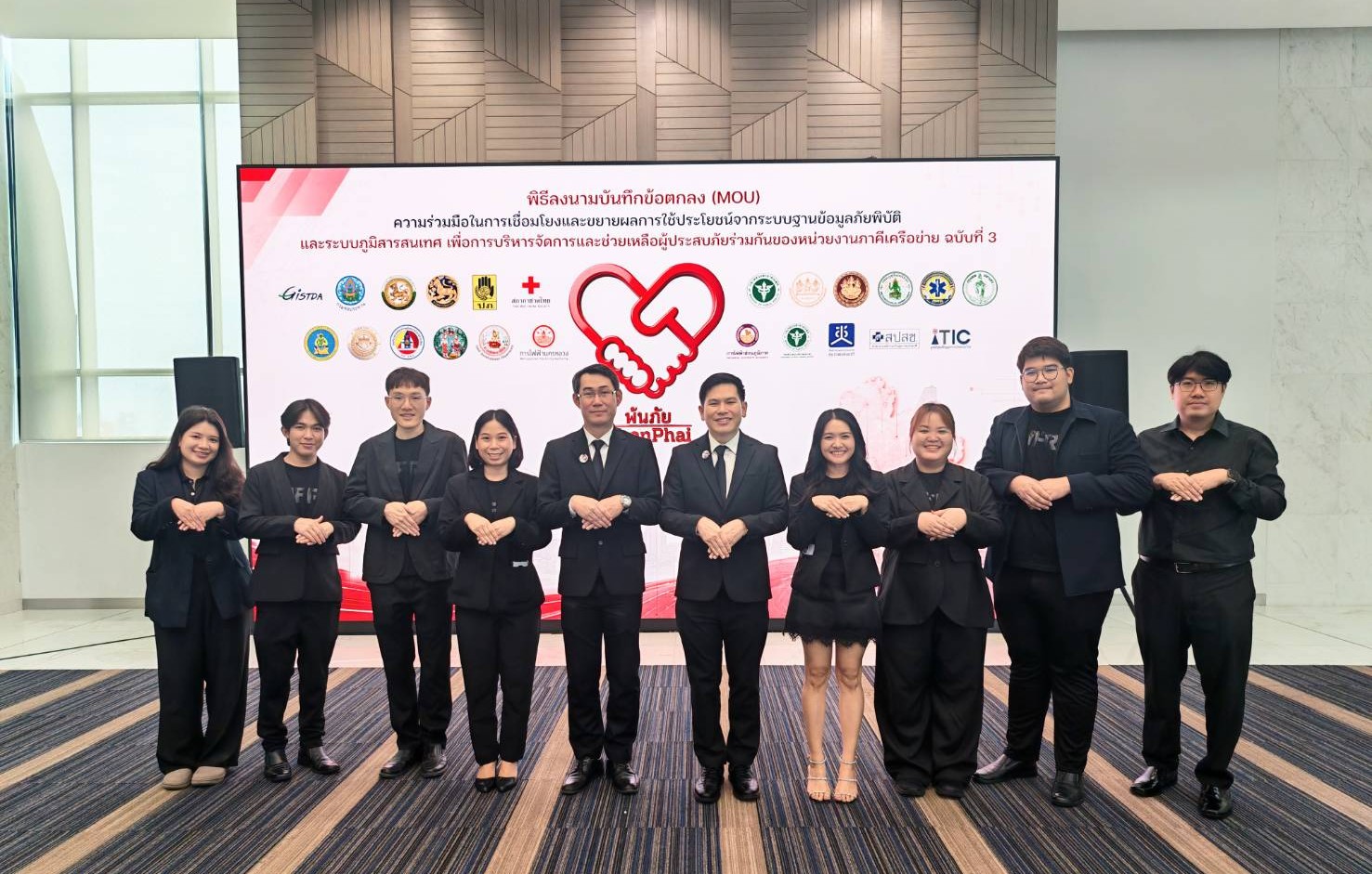
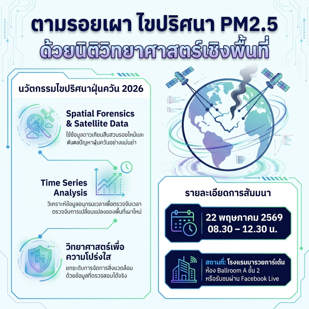
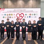
iNFRA, in collaboration with multiple organizations, hosts the seminar
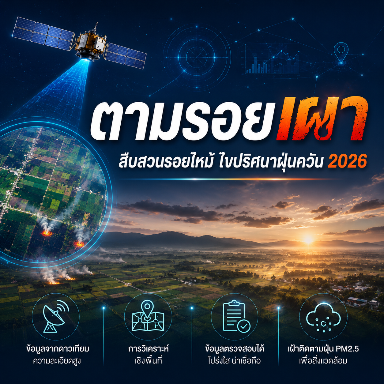
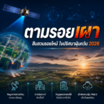
“Burn Trace, Burn Scar Investigation, Solving the PM2.5 Puzzle 2026 with Spatial Forensics”
iNFRA Corporation, in collaboration with multiple partner organizations, is hosting a seminar titled “Burn Trace, Burn Scar Investigation, Solving the PM2.5 Puzzle 2026 with Spatial Forensics” to share knowledge and innovations in satellite data analysis and geospatial technology for monitoring agricultural burning — one of the key contributors to PM2.5 pollution in Thailand.
The seminar will highlight the application of Satellite Data, Remote Sensing, Time Series Analysis, and Burn Scar Detection techniques to support more accurate, transparent, and evidence-based environmental management and agricultural monitoring.
The event is designed for government agencies, researchers, environmental professionals, agricultural authorities, and organizations involved in PM2.5 mitigation and sustainable land management.
Seminar Details
Topic: “Burn Trace, Burn Scar Investigation, Solving the PM2.5 Puzzle 2026 with Spatial Forensics”
Date: May 22, 2026
Time: 08:30 AM – 12:30 PM
Venue: Ballroom A, 2nd Floor, Maruay Garden Hotel
Online Streaming: Facebook Live
This seminar reflects a collaborative effort to advance the use of geospatial intelligence and scientific evidence in addressing environmental challenges and improving PM2.5 management strategies across the country.